
Boa Vista
All of Brazil, within reach.

Diagonal bands of blue, white and green rise from lower left to upper right, crossed near the bottom by a thin red band for the equator, with a gold star representing the star that stands for Roraima on the national flag. Designed by Mário Barreto, it was established by state law in 1996.
Boa Vista in pictures
About Boa Vista
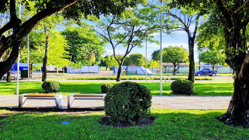
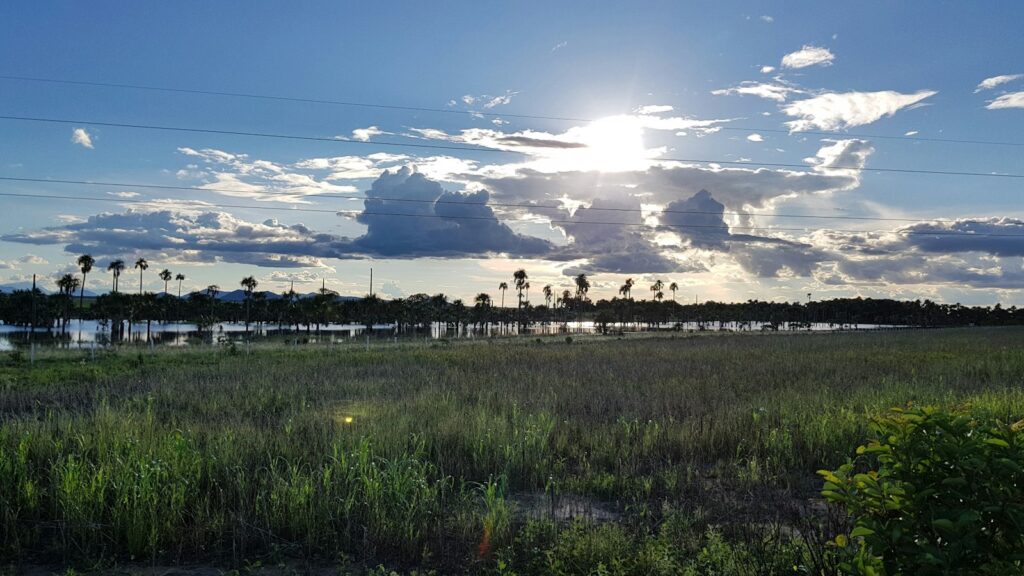
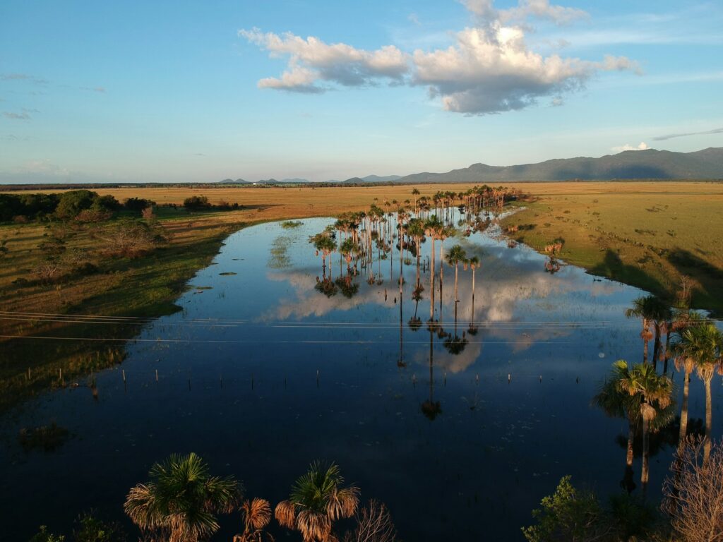
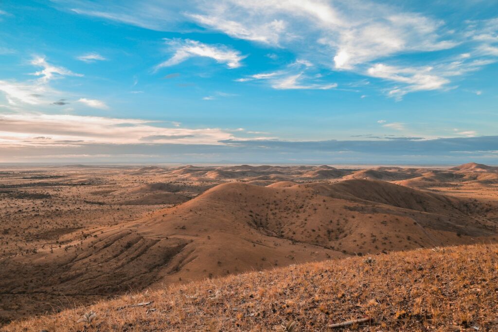
Boa Vista, capital of Roraima, stands on the western bank of the Rio Branco and is the only Brazilian state capital lying entirely north of the equator. Laid out between 1944 and 1946 on a radial plan inspired by Paris, with avenues fanning out from the Praça do Centro Cívico, it is a compact, orderly city of about 413,000 people (2022 census), home to most of the state's population. The riverfront Orla Taumanan, opened in 2004, is the place for sunset and regional food, and in the dry season sandbanks such as Praia Grande emerge on the opposite bank. Around the city stretches the Lavrado, an open savanna with buriti palm groves, shared with Guyana's Rupununi and Venezuela's Gran Sabana. Parque Anauá, one of the largest urban parks in northern Brazil, and the modernist cathedral complete a half-day city tour. Much of Roraima is indigenous land, home to Macuxi, Wapixana, Ingarikó, Taurepang, Yanomami and other peoples, and their presence shapes the region's food, crafts and landscape. For agencies, Boa Vista is a base rather than a destination in itself: one or two nights for the city, the riverfront and regional cuisine, combined with Serra do Tepequém, the Lavrado, Lago Caracaranã or the Mount Roraima trek via Venezuela. It also suits special-interest programs on frontier history, migration and indigenous culture built with local partners. Logistics call for honest planning. Air links run mostly via Manaus and Brasília, and Roraima is one hour behind Brasília time. The road south to Manaus crosses the Waimiri-Atroari Indigenous Territory, closed to most traffic at night. Excursions are long drives: Tepequém is about 210 km away, Pedra Pintada about 140 km and Lago Caracaranã around 200 km, the last two inside indigenous territories where visits depend on community rules and prior authorisation. Venezuelan migration since the late 2010s has reshaped the city, and border conditions should be checked before any cross-border routing.
Boa Vista-Atlas Brasil Cantanhede International Airport
Roraima's only airport with scheduled jet service, operated by Vinci since April 2021, with domestic links to Brasília, Manaus and São Paulo-Guarulhos.
How Boa Vista came to be
Sourced milestones your team can use for guest briefings and storytelling, not filler copy.
Curiosities & practical notes
What's on the table
Damurida
Roraima's signature indigenous dish, a hot, pepper-rich broth of fish or game with cariru greens and black tucupi, eaten with cassava beiju.
Paçoca de carne
Sun-dried meat pounded with cassava flour, traditionally eaten with banana at breakfast or in the afternoon.
Beiju
A flatbread of cassava that accompanies damurida and also serves as a base for traditional drinks.
Caxiri
A traditional fermented drink with a cassava base, with variations using sweet potato, corn, yam or toasted beiju.
Tucupi preto
A dark, concentrated cassava reduction, an ancestral indigenous ingredient that gives damurida its depth.
What there is to see
Marked where a site carries UNESCO World Heritage status directly, versus a locally or nationally protected landmark.
Praça do Centro Cívico
The heart of Boa Vista's radial plan, where the main avenues converge around the seats of government and the 1960s Monumento ao Garimpeiro.
Orla Taumanan
The riverside promenade on the Rio Branco, opened in 2004, with platforms of bars and restaurants and wide sunset views; taumanan means peace in the Macuxi language.
Catedral Cristo Redentor
A modernist cathedral built between 1968 and 1972 to a design by Mário Fiameni, whose forms evoke a harp, a ship and an indigenous maloca.
Parque Anauá
A large urban park with an amphitheatre and an indigenous crafts gallery; anauá means meeting place in Macuxi.
Ponte dos Macuxi
The 1,200 metre bridge of 1975 over the Rio Branco, a landmark of the skyline and the road link east toward Guyana.
Lago Caracaranã
A savanna lake with white sand beaches and cashew trees in Normandia, managed by indigenous communities of Raposa Serra do Sol, with basic chalets and hammock space.
Pedra Pintada
A great granite outcrop in the savanna with a cave and rock paintings, occupied as far back as 2000 BC, visited with FUNAI authorisation in the São Marcos Indigenous Territory.
Forte São Joaquim ruins
The remains of the 18th-century Portuguese fort at the meeting of the Uraricoera and Tacutu rivers, listed by IPHAN.
What else we brief agencies on
This is what we prepare for every RFP, whether or not it's published on this page yet:
On request for every proposal
- Best season / weather windows and blackout dates for groups & MICE
- Permit and quota logistics for regulated attractions, lead time and group-size caps
- Accessibility notes and physical-difficulty ratings per activity
- Vetted ground partners, guides and transport already used on past programs
- Sustainability / certification credentials relevant to client RFPs, where they genuinely exist
- Real, checked room and vehicle availability for your travel dates, not a generic quote
