We only take your clients where we've lived, slept, and smiled ourselves.
We're a new, founder-led team building direct relationships across every region below. Nothing here is subcontracted blind. Every hotel, guide and transfer is sourced and personally checked for your specific request before it goes into a proposal.
No destination found.
North Norte
The rainforest, the destination most asked about by international buyers, and the most operationally demanding.
 Acre AC3 destinationsState page →
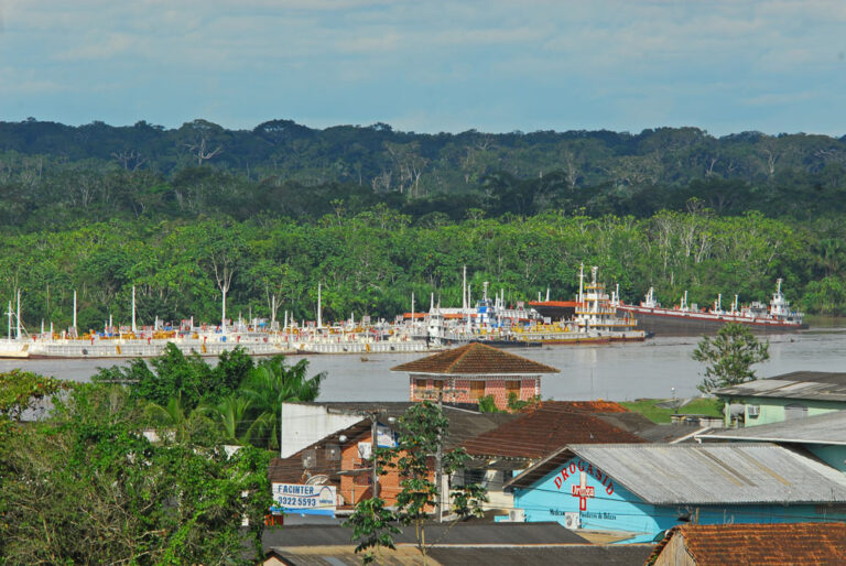
Cruzeiro do Sul
Cruzeiro do Sul is the second city of Acre and the commercial centre of the Juruá valley in Brazil's far west. It…
Explore →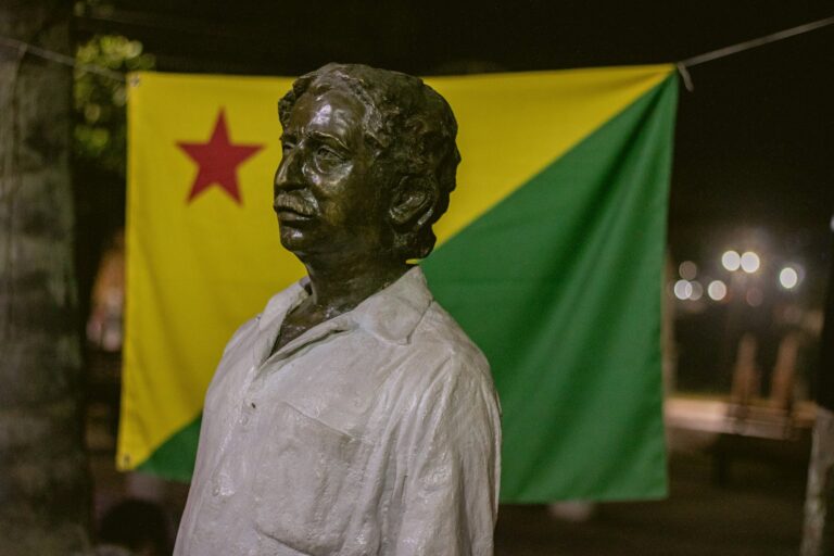
Rio Branco
Acre is Brazil's westernmost state, bordering Peru and Bolivia in the southwestern Amazon. Rio Branco, its capital, grew from a rubber estate…
Explore →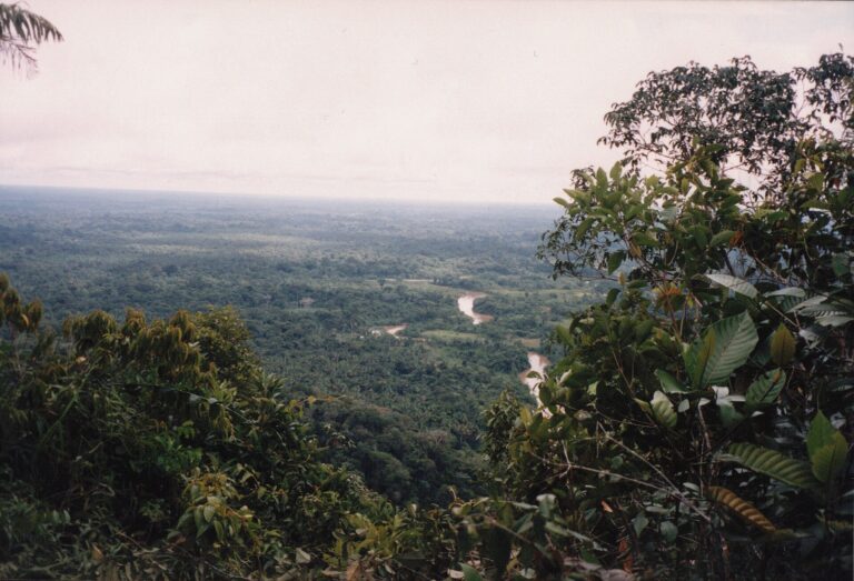
Serra do Divisor
Serra do Divisor National Park lies in the extreme west of Brazil, along the Peruvian border in Acre. Created on 16 June…
Explore → Amapá AP3 destinationsState page →
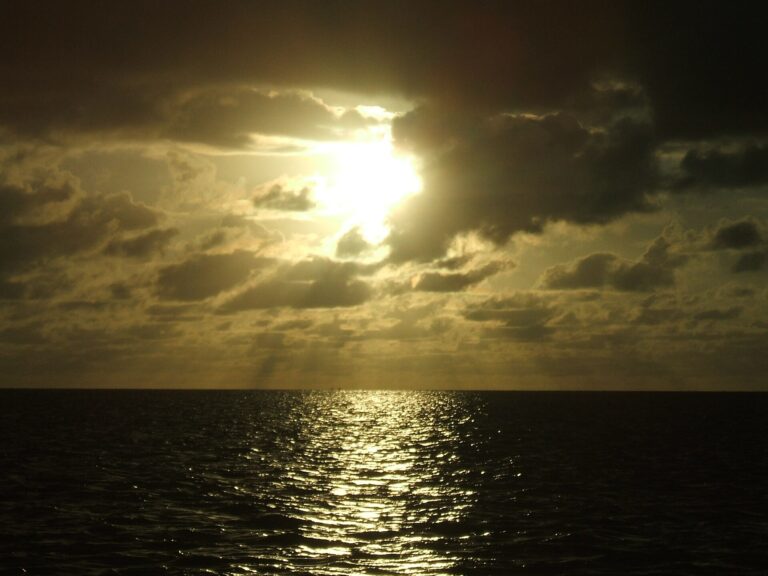
Cabo Orange
Cabo Orange National Park protects the far northern coast of Amapá, where the Brazilian shoreline ends at the estuary of the Oiapoque…
Explore →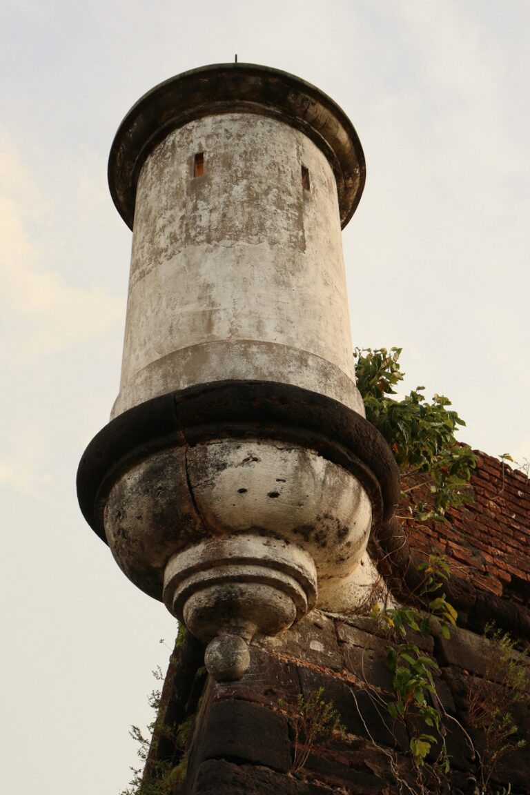
Macapá
Macapá, capital of Amapá, sits on the northern channel of the Amazon delta, close to the Atlantic, and is the only Brazilian…
Explore →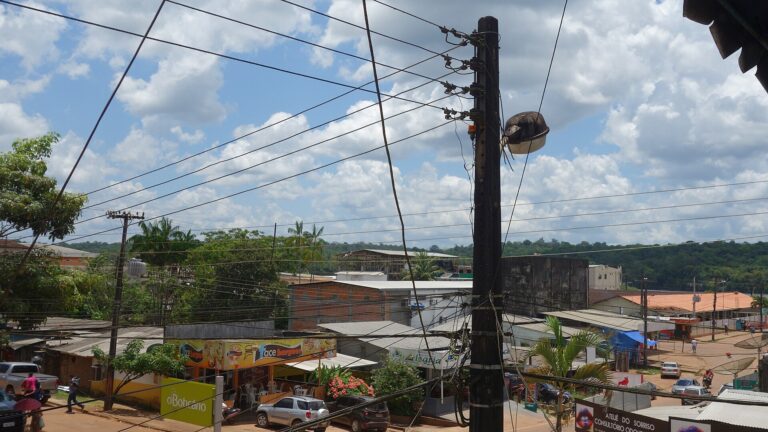
Oiapoque
Oiapoque is the northernmost municipality of Amapá, a river town on the right bank of the Oiapoque River facing Saint-Georges-de-l'Oyapock in French…
Explore → Amazonas AM2 destinationsState page →
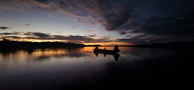
Manaus
Manaus sits at the confluence of the dark-water Rio Negro and the sediment-laden Rio Solimões, the point where the Amazon River proper…
Explore →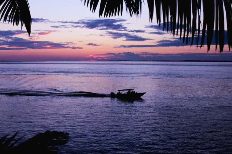
Parintins
Parintins sits on Tupinambarana island in the Amazon River, in the far east of Amazonas state, roughly 370 km from Manaus. With…
Explore → Pará PA3 destinationsState page →
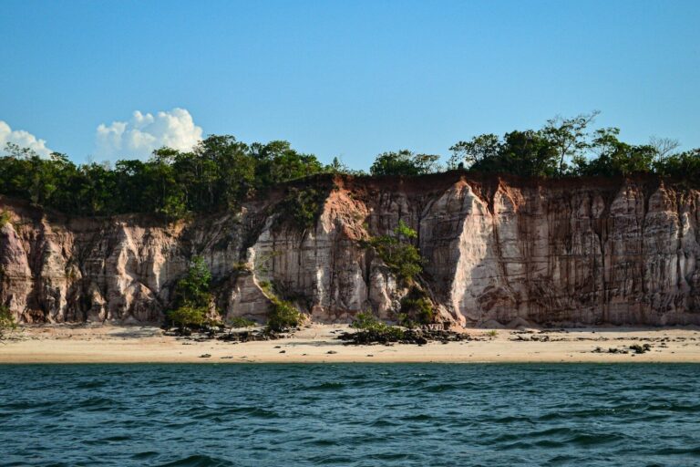
Alter do Chão
Alter do Chão is a riverside village on the Tapajós River, part of the municipality of Santarém in the heart of Pará…
Explore →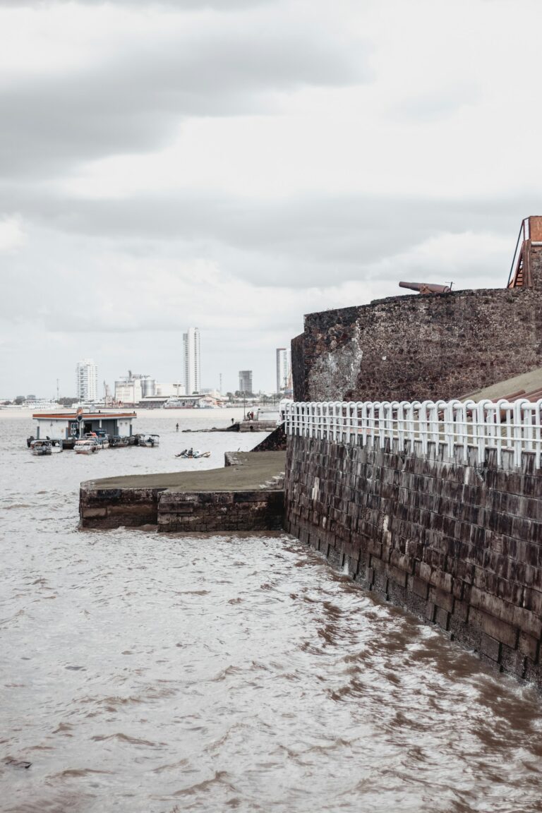
Belém
Belém, capital of Pará, stands on Guajará Bay near the mouth of the Amazon system and is the historic gateway to the…
Explore →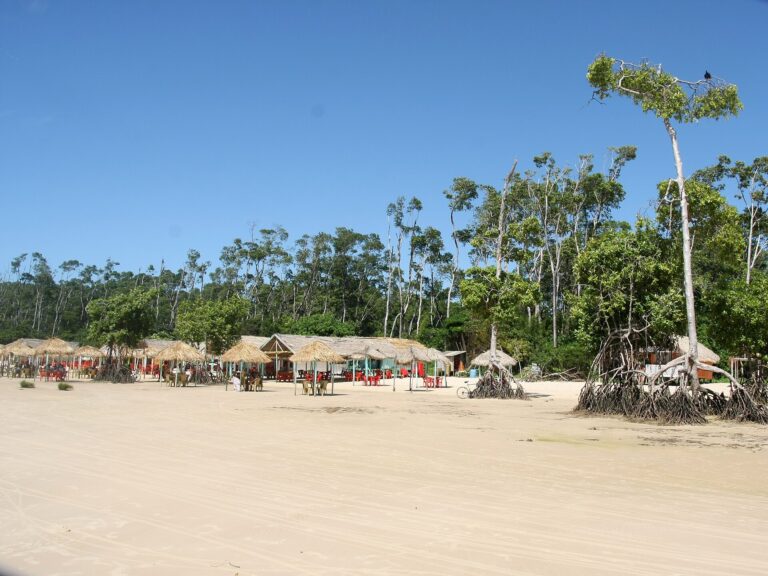
Ilha de Marajó
Ilha de Marajó, at the mouth of the Amazon across the bay from Belém, covers about 40,100 square kilometres and is described…
Explore → Rondônia RO2 destinationsState page →
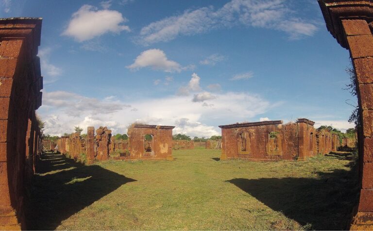
Guajará-Mirim
Guajará-Mirim stands on the Mamoré River in western Rondônia, directly across from the Bolivian town of Guayaramerín. With about 46,500 inhabitants in…
Explore →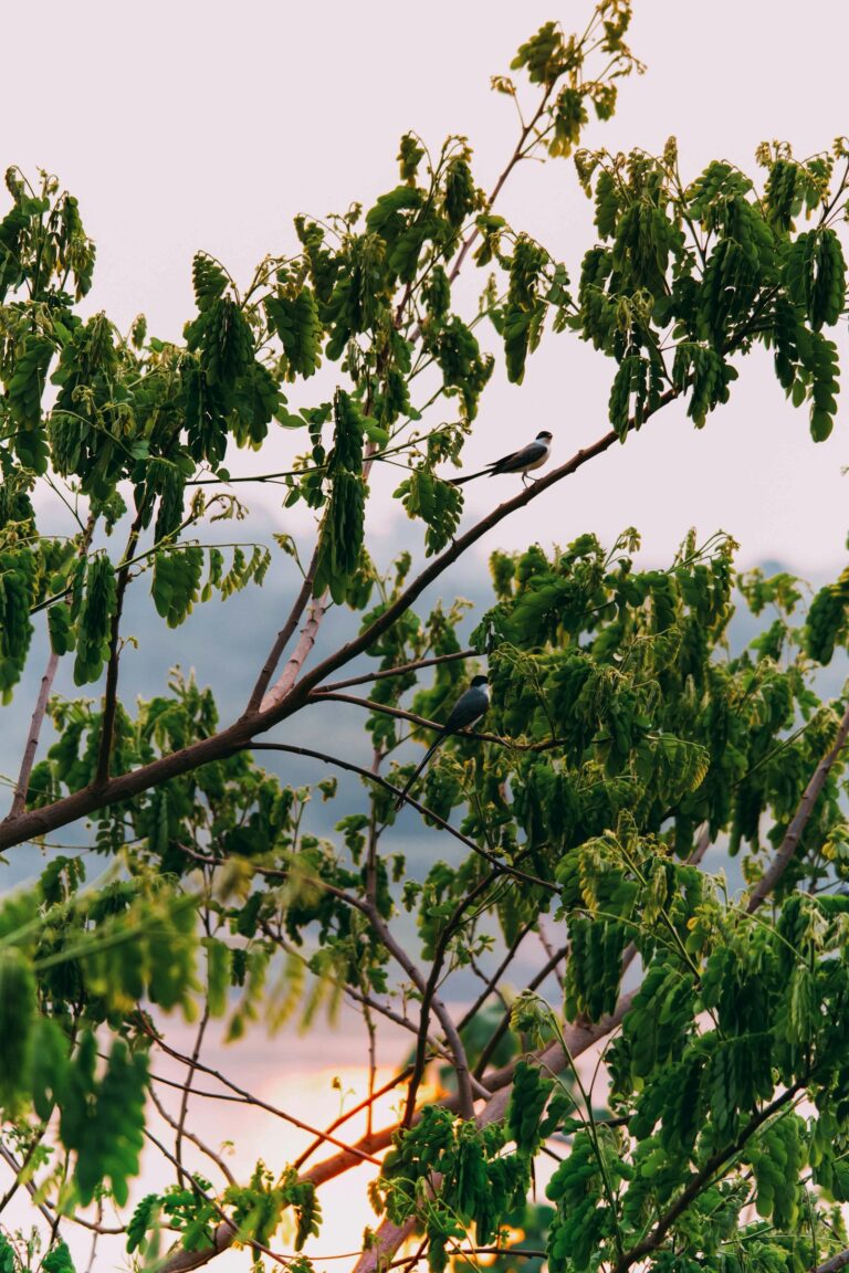
Porto Velho
Porto Velho, capital of Rondônia, stands on the eastern bank of the Madeira River, one of the main tributaries of the Amazon,…
Explore → Roraima RR3 destinationsState page →
Boa Vista
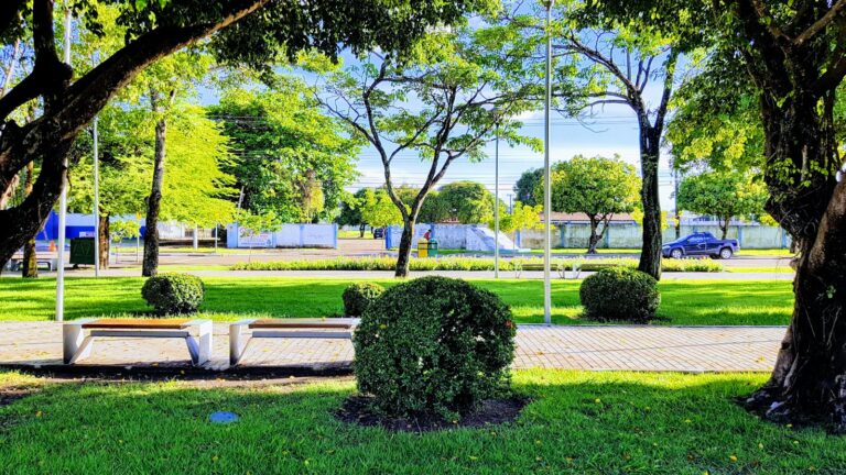
Boa Vista, capital of Roraima, stands on the western bank of the Rio Branco and is the only Brazilian state capital lying…
Explore →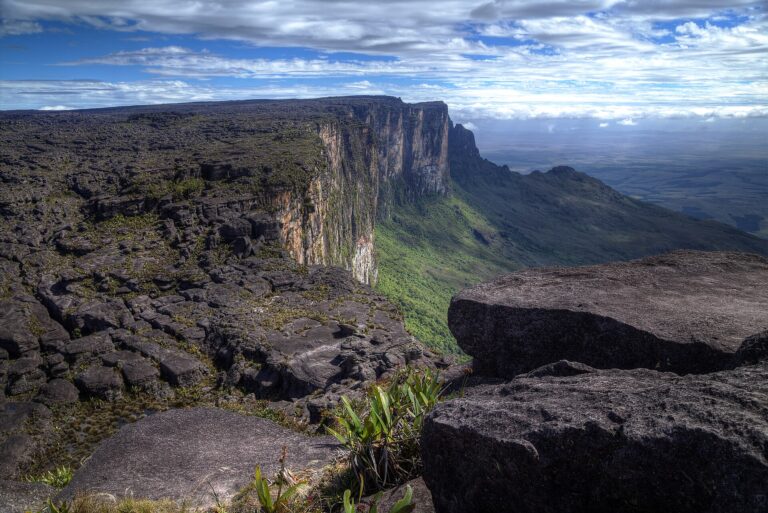
Mount Roraima
Mount Roraima is a 2,810 metre tepui, a flat-topped sandstone mountain ringed by cliffs of 400 to 1,000 metres, standing on the…
Explore →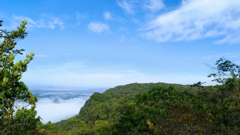
Serra do Tepequém
The Serra do Tepequém is a flat-topped mountain in the municipality of Amajari, in northern Roraima, about 210 km by road from…
Explore → Tocantins TO3 destinationsState page →
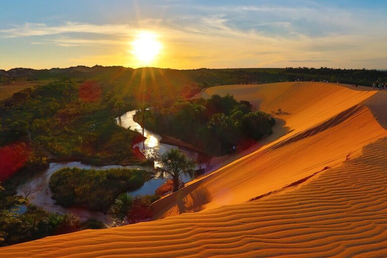
Jalapão
Jalapão is Tocantins' flagship hard-adventure product, a remote stretch of Cerrado savanna in the state's eastern reaches, anchored by the 158,885-hectare Jalapão…
Explore →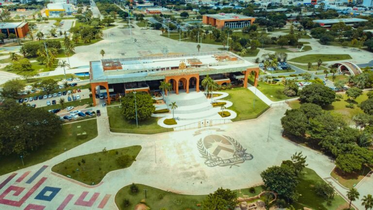
Palmas
Palmas is the capital of Tocantins, the state created by the 1988 Constitution from the northern part of Goiás. Founded on 20…
Explore →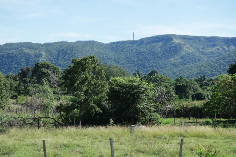
Taquaruçu
Taquaruçu is not a separate town but a district of the municipality of Palmas, set in the hills of the Serra do…
Explore →Northeast Nordeste
Afro-Brazilian culture, the country's best beaches, and the destinations most requested for premium leisure add-ons.
 Alagoas AL2 destinationsState page →
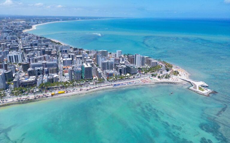
Maceió
Maceió is the capital of Alagoas and the anchor gateway to Brazil's northeastern 'Coconut Coast,' valued by tour operators for its calm,…
Explore →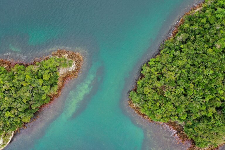
São Miguel dos Milagres
São Miguel dos Milagres is a small town on Alagoas' Litoral Norte, roughly 100 km north of Maceió, within the Costa dos…
Explore → Bahia BA2 destinationsState page →
Chapada Diamantina
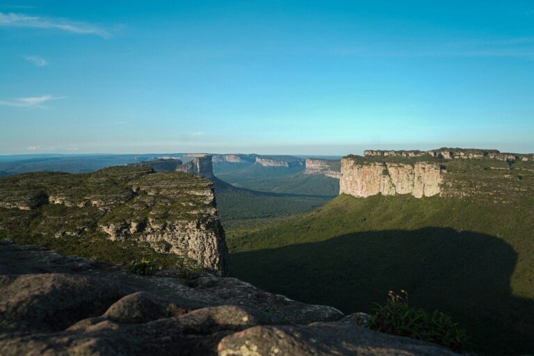
Chapada Diamantina anchors a roughly 152,000-hectare national park in the highlands of central Bahia, about 420 km (around 6 hours by road)…
Explore →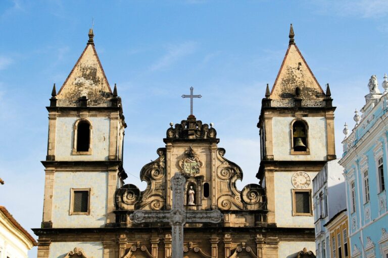
Salvador
Salvador, capital of Bahia, was founded in 1549 as Brazil's first capital and remained the seat of Portuguese colonial government until 1763,…
Explore → Ceará CE3 destinationsState page →
Canoa Quebrada
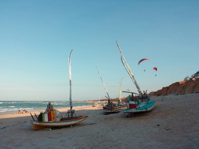
Canoa Quebrada is a former fishing village on the east coast of Ceará, in the municipality of Aracati, about 160 km from…
Explore →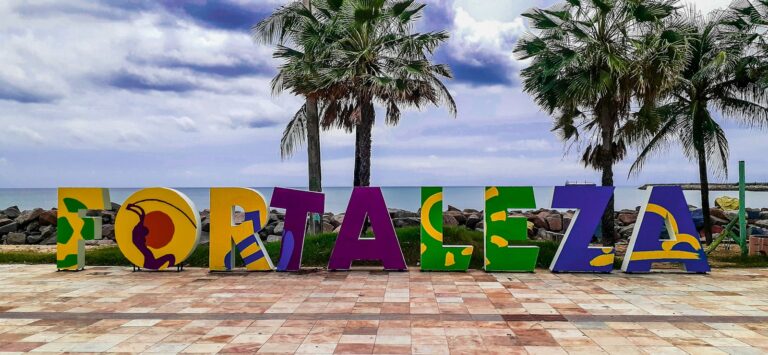
Fortaleza
Fortaleza, capital of Ceará, is one of Brazil's largest cities, with about 2.4 million residents in the 2022 census, and one of…
Explore →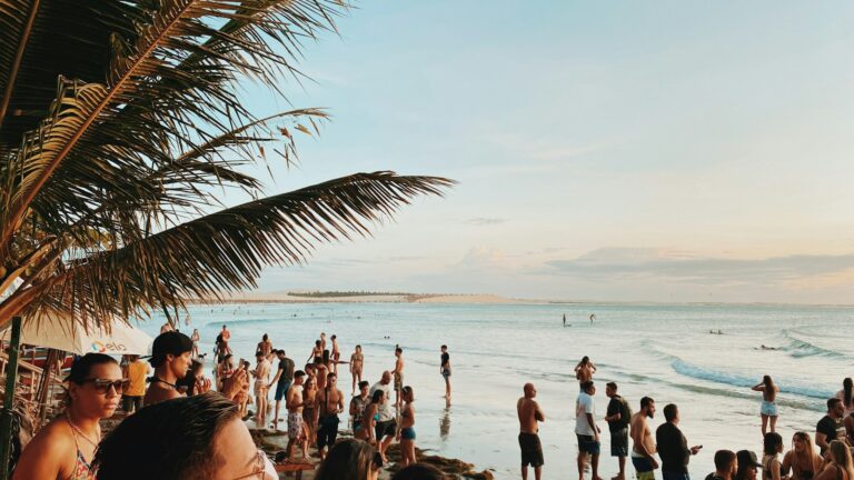
Jericoacoara
Jericoacoara is a beach village on Ceará's west coast, about 300 km from Fortaleza, set within Jericoacoara National Park. The name comes…
Explore → Maranhão MA3 destinationsState page →
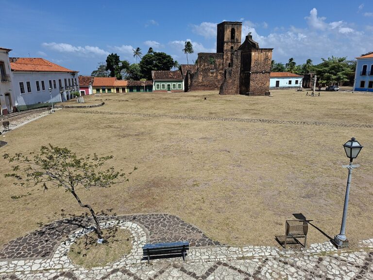
Alcântara
Alcântara is a small colonial town on the western shore of the Bay of São Marcos, about 30 km from São Luís.…
Explore →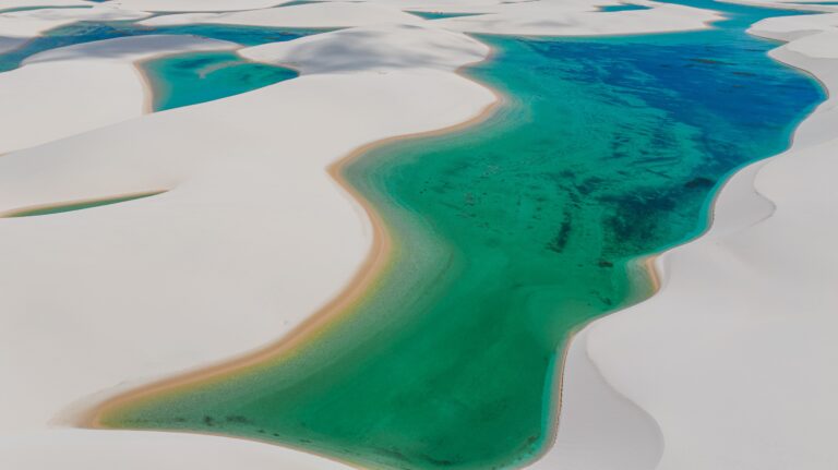
Lençóis Maranhenses
Lençóis Maranhenses National Park is one of Brazil's most visually distinctive landscapes for trade partners to sell: roughly 155,000 hectares of rolling…
Explore →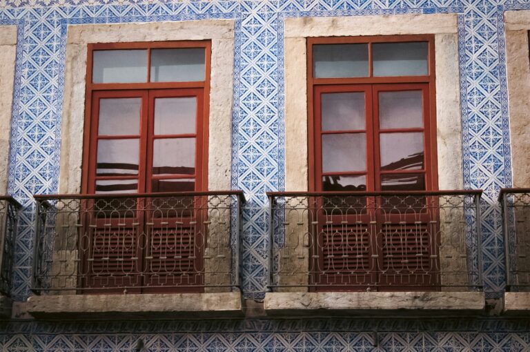
São Luís
São Luís, capital of Maranhão, stands on São Luís Island in the Bay of São Marcos and is the only Brazilian state…
Explore → Paraíba PB2 destinationsState page →
Campina Grande
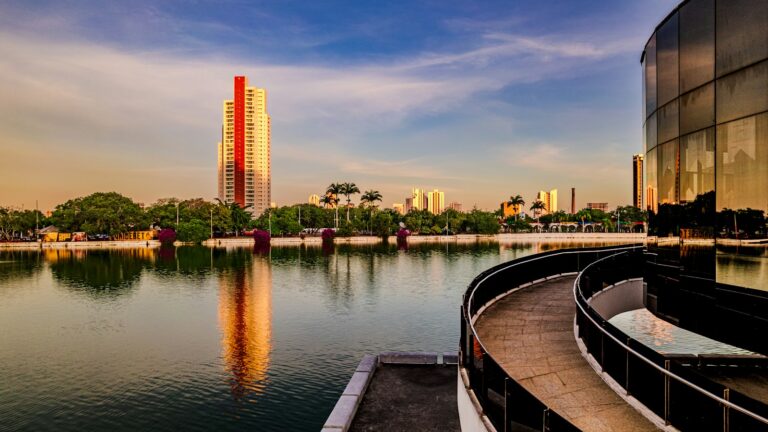
Campina Grande, Paraíba's second city with over 400,000 inhabitants, sits at 560 metres on the Borborema plateau, about 125 km inland from…
Explore →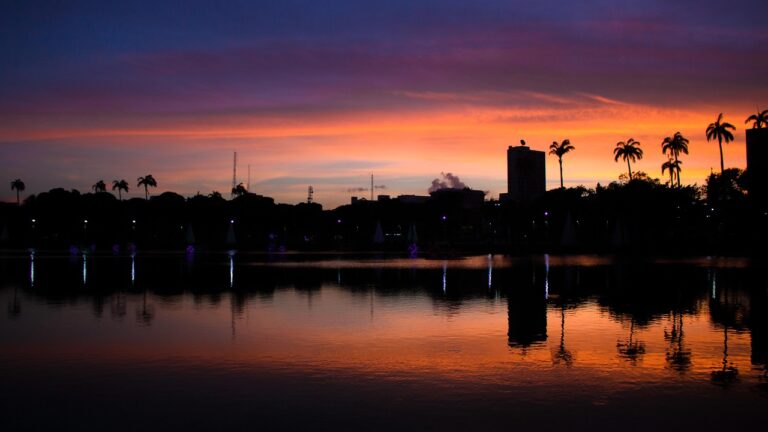
João Pessoa
João Pessoa, capital of Paraíba, pairs a 16th-century historic center, one of Brazil's oldest, founded in 1585, with 20 km of urban…
Explore → Pernambuco PE4 destinationsState page →
Fernando de Noronha
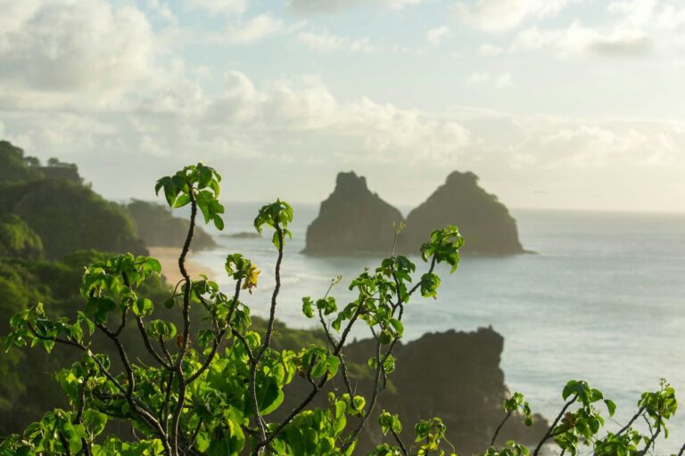
Fernando de Noronha is a volcanic archipelago roughly 545 km off the Pernambuco coast in Brazil's Nordeste, anchoring one of the South…
Explore →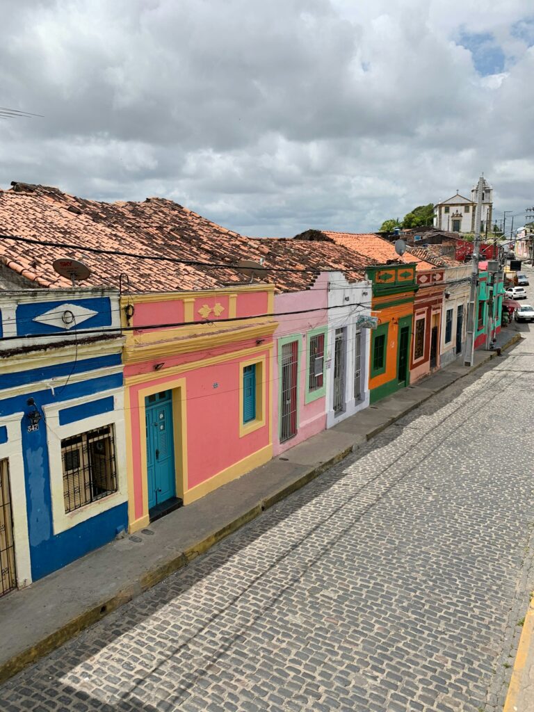
Olinda
Olinda sits on a cluster of hills overlooking the Atlantic about 6 km north of central Recife. Founded in 1535 by the…
Explore →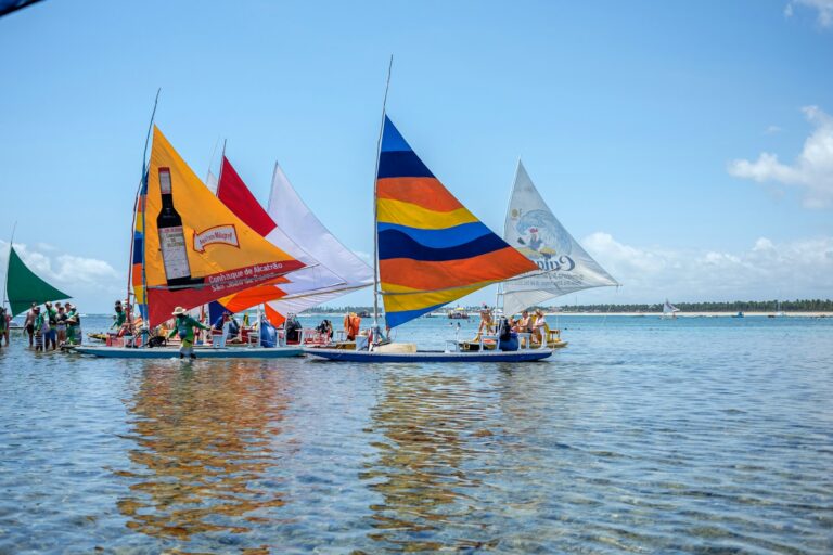
Porto de Galinhas
Porto de Galinhas is a beach village in the municipality of Ipojuca, on the south coast of Pernambuco, about 60 km from…
Explore →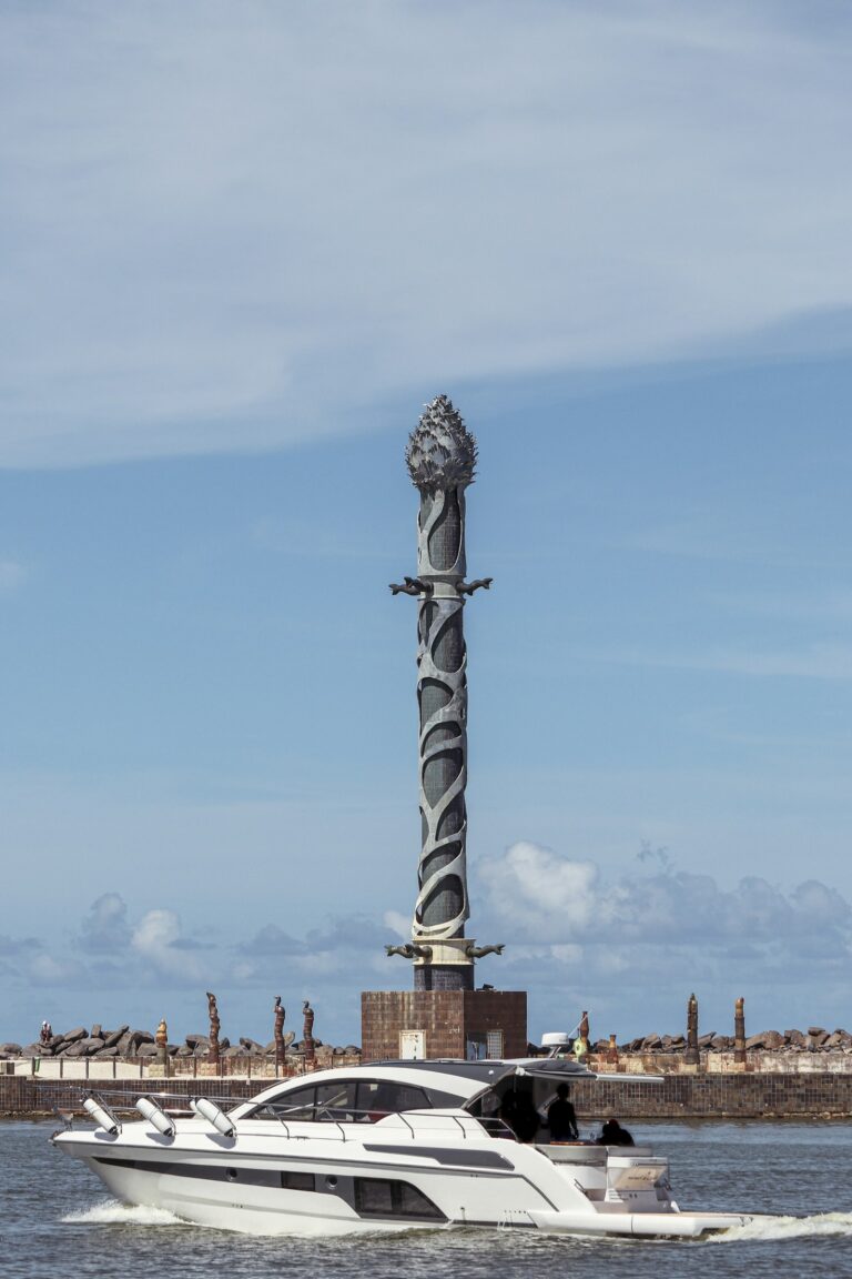
Recife
Recife, capital of Pernambuco, takes its name from the stone reefs that line its shore. Founded in 1537 as the port of…
Explore → Piauí PI2 destinationsState page →
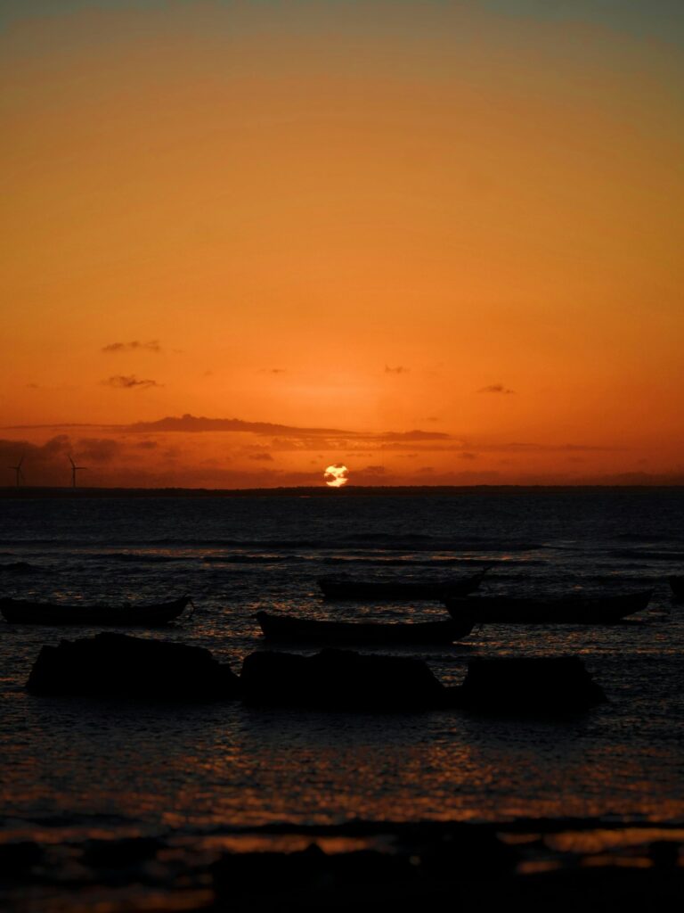
Parnaíba Delta
Before reaching the Atlantic, the Parnaíba River opens into five arms around 73 river islands, forming the only open-sea delta in the…
Explore →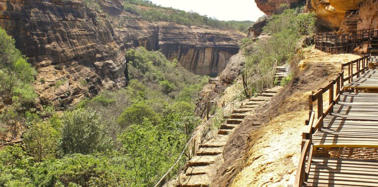
Serra da Capivara
Serra da Capivara National Park protects about 130,000 hectares of canyons, sandstone cliffs and caatinga dry forest in the semi-arid southeast of…
Explore → Rio Grande do Norte RN2 destinationsState page →
Natal
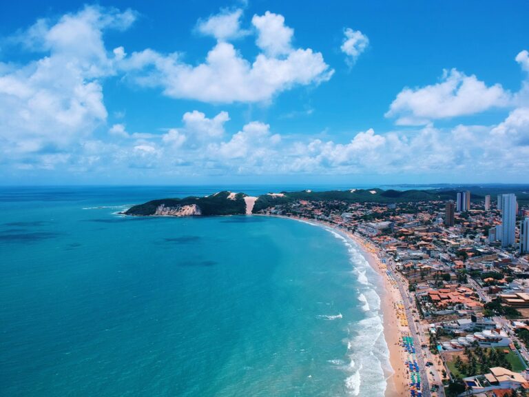
Natal, capital of Rio Grande do Norte, sits at the north-eastern corner of Brazil where the Potengi River meets the Atlantic. The…
Explore →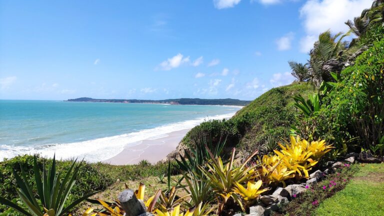
Pipa
Pipa is Rio Grande do Norte's best-known coastal village, a stretch of roughly eleven cliff-backed beaches in the municipality of Tibau do…
Explore → Sergipe SE2 destinationsState page →
Aracaju
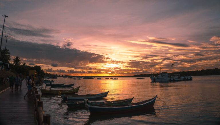
Aracaju, the capital of Sergipe, is Brazil's second planned state capital (after Teresina), laid out on a tidy 19th-century grid that makes…
Explore →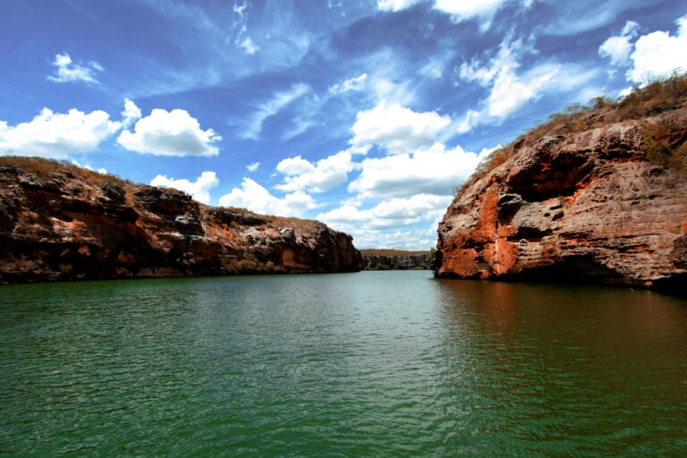
Xingó Canyons
The Xingó Canyons are a stretch of the São Francisco River in the semi-arid sertão where Sergipe meets Alagoas. Since the Xingó…
Explore →Midwest Centro-Oeste
The capital and the country's premier wildlife destinations, a different register from the coast.
 Distrito Federal DF2 destinationsState page →
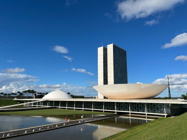
Brasília
As Brazil's federal capital and seat of government, Brasília is the country's premier hub for government-relations, diplomatic, and MICE (meetings, incentives, conferences,…
Explore →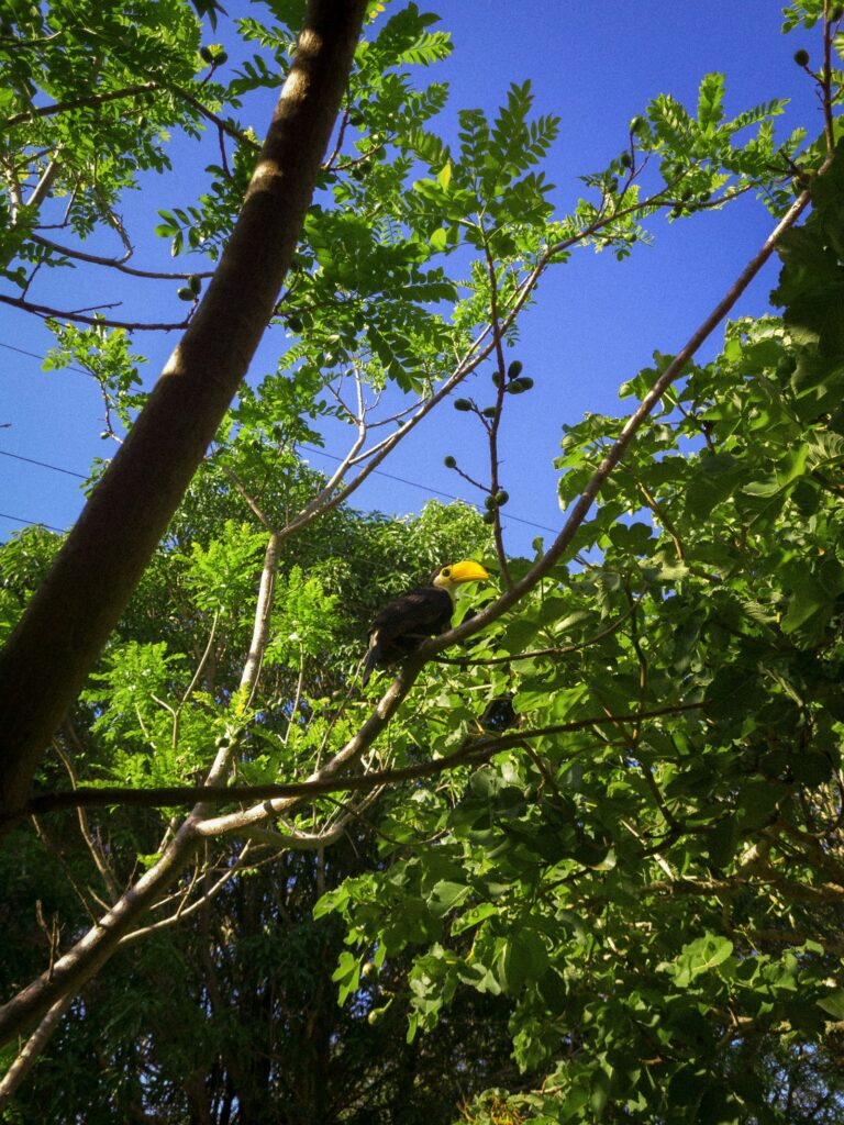
Cerrado Waterfalls around Brasília
Beyond the modernist Plano Piloto, the Federal District keeps a surprising amount of Cerrado, the savanna biome of central Brazil, on a…
Explore → Goiás GO2 destinationsState page →
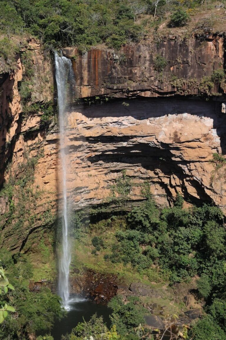
Chapada dos Veadeiros
Chapada dos Veadeiros is a high plateau of ancient Cerrado savanna in northeastern Goiás, roughly 235 km north of Brasília, built around…
Explore →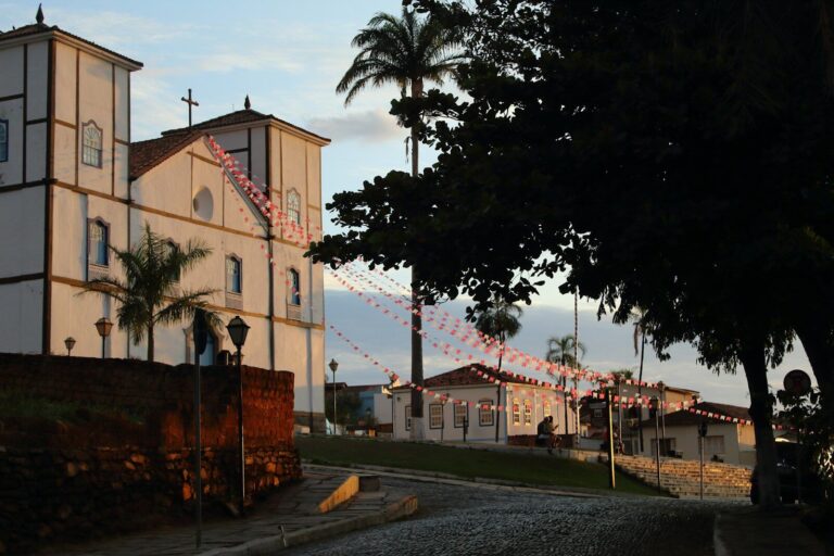
Pirenópolis
Pirenópolis is a preserved 18th-century gold-mining town in the highlands of Goiás, roughly two hours by paved road from Brasília, close enough…
Explore → Mato Grosso MT4 destinationsState page →
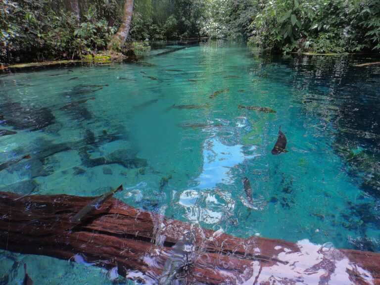
Bom Jardim
Bom Jardim is a district of the municipality of Nobres, about 65 km from Nobres town and roughly 140 to 150 km…
Explore →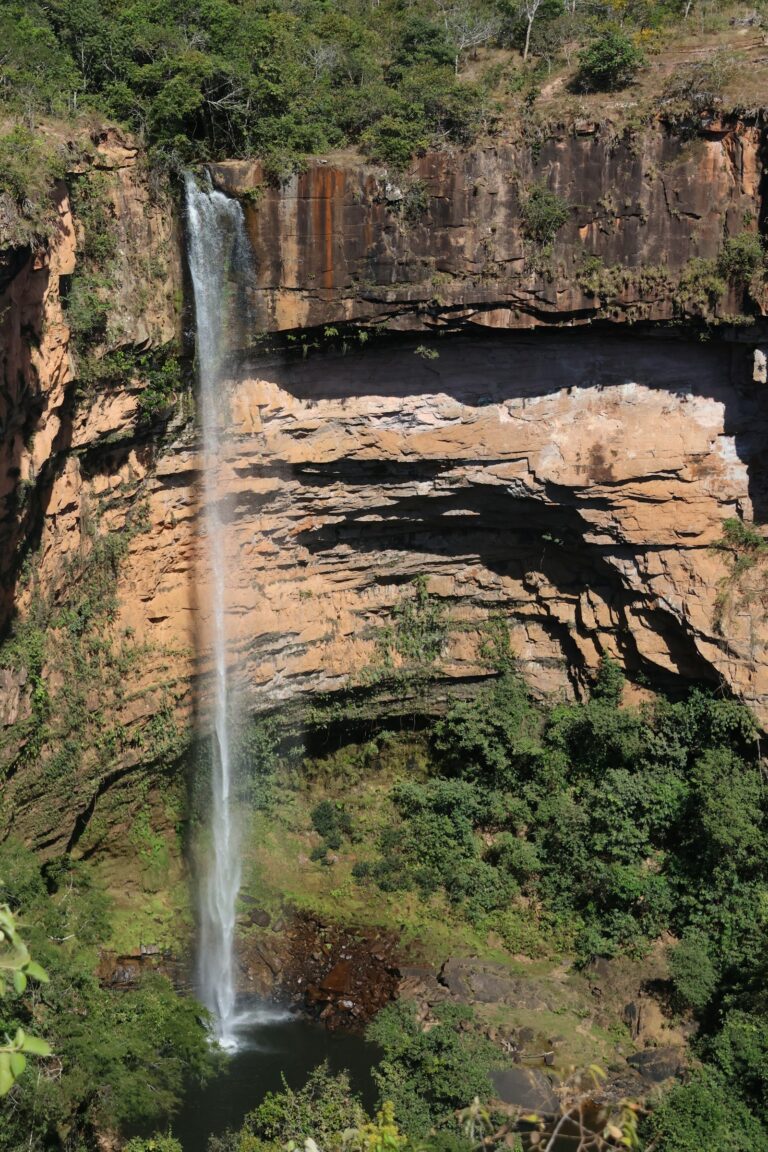
Chapada dos Guimarães
Chapada dos Guimarães is a sandstone plateau of the Cerrado about 65 km from Cuiabá, capital of Mato Grosso, reached in roughly…
Explore →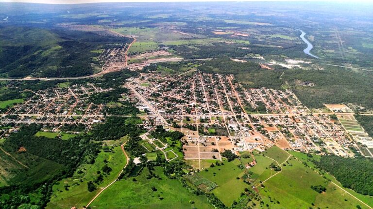
Nobres
Nobres is a municipality of 15,492 people (2022 census) and about 3,900 km² in central Mato Grosso, some 120 to 140 km…
Explore →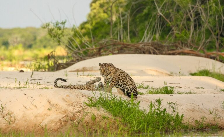
Pantanal
The Pantanal is the world's largest tropical wetland, spanning the states of Mato Grosso and Mato Grosso do Sul and recognized by…
Explore → Mato Grosso do Sul MS2 destinationsState page →
Bonito
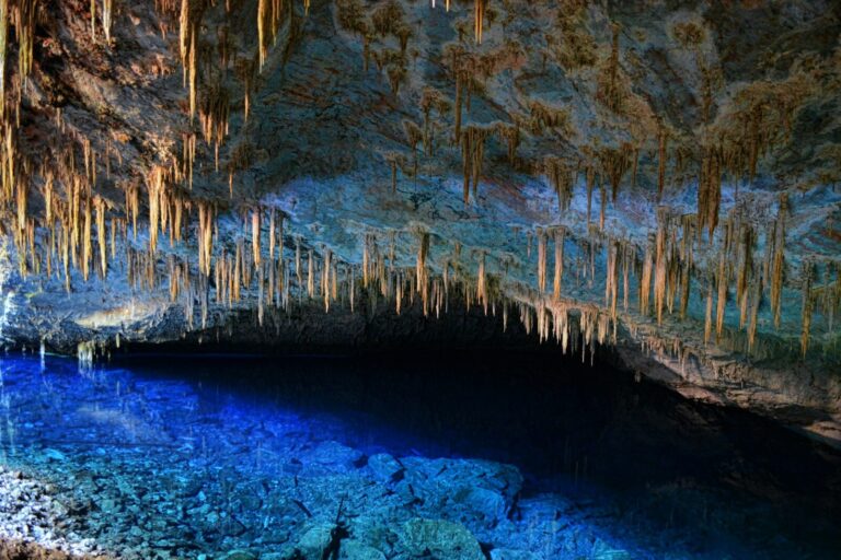
Bonito sits on the Bodoquena plateau in south-western Mato Grosso do Sul, about 300 km from the state capital Campo Grande. The…
Explore → Pantanal
The Pantanal is the world's largest tropical wetland, spanning the states of Mato Grosso and Mato Grosso do Sul and recognized by…
Explore →Southeast Sudeste
Brazil's corporate and cultural core: financial capital, the incentive icon of Rio, and the colonial heritage circuit inland.
 Espírito Santo ES3 destinationsState page →
Pedra Azul
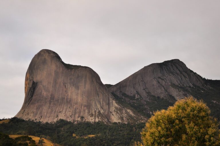
Inland from Vitória, the highlands of Espírito Santo rise into a landscape of Atlantic Forest, rocky peaks and small farms settled by…
Explore →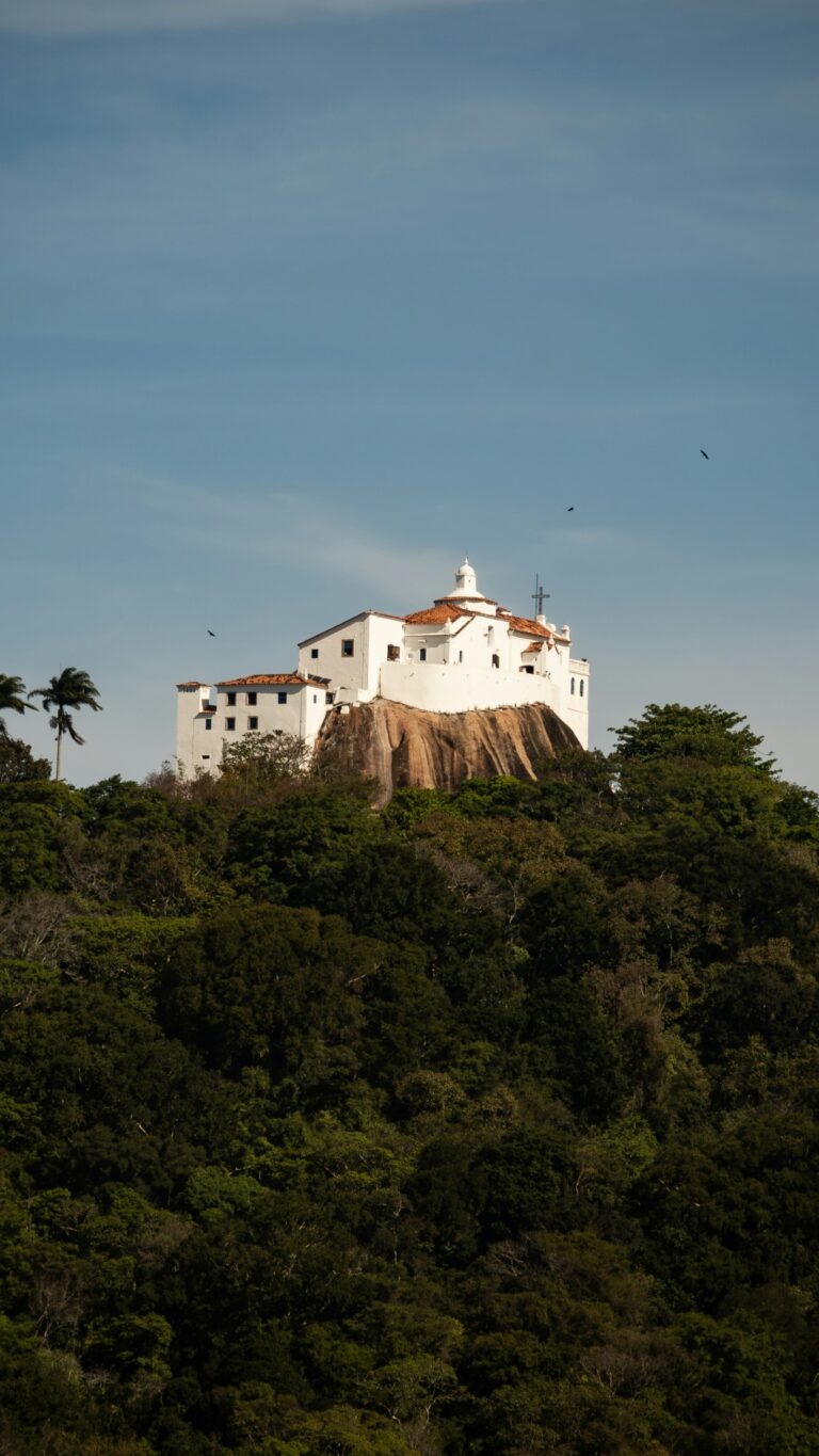
Vila Velha
Vila Velha is the oldest town in Espírito Santo. On 23 May 1535 the Portuguese donatary Vasco Fernandes Coutinho landed at Prainha,…
Explore →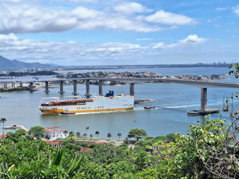
Vitória
Vitória, capital of Espírito Santo, was founded on 8 September 1551 on an island in Vitória Bay, when the Portuguese moved the…
Explore → Minas Gerais MG3 destinationsState page →
Belo Horizonte
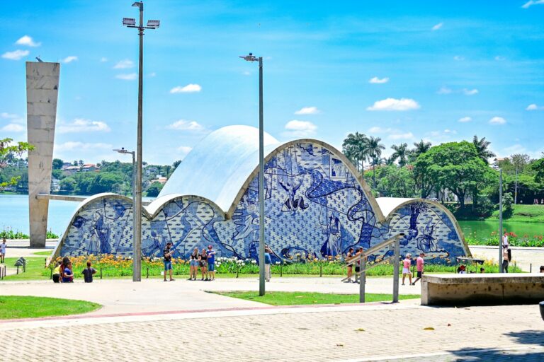
Belo Horizonte, capital of Minas Gerais, was built from scratch to replace Ouro Preto as the seat of government. The engineer Aarão…
Explore →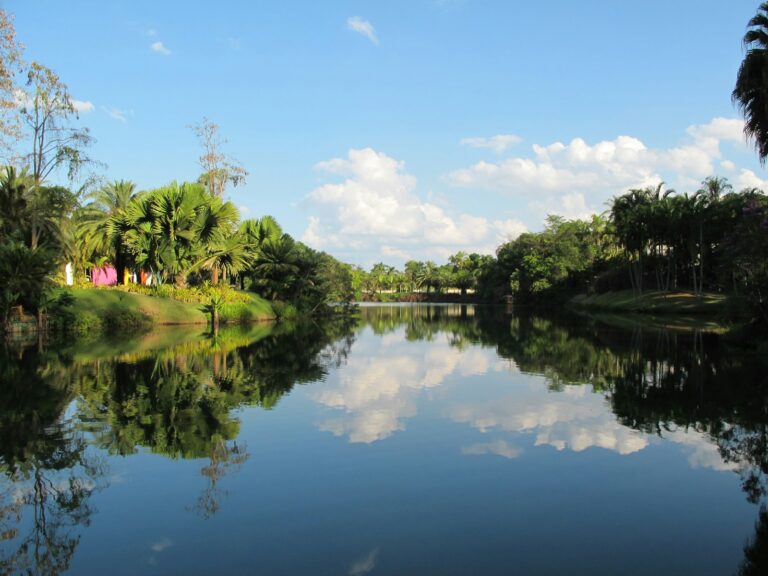
Inhotim
Inhotim is a contemporary art museum and botanical garden in Brumadinho, a municipality of about 39,000 people some 60 km from Belo…
Explore →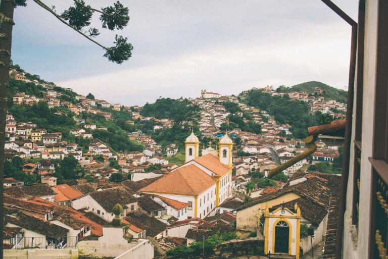
Ouro Preto
The historic towns of Minas Gerais grew out of the gold rush that made this region the economic heart of colonial Brazil…
Explore → Rio de Janeiro RJ5 destinationsState page →
Angra dos Reis
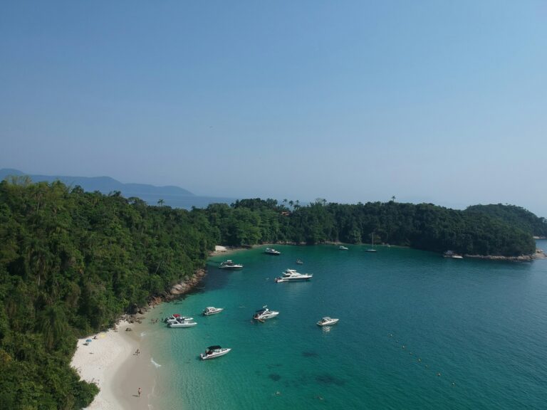
Angra dos Reis is a port and resort municipality on the Costa Verde, the green coast of southern Rio de Janeiro state,…
Explore →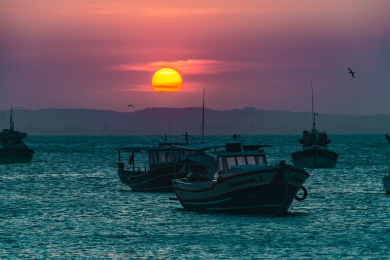
Búzios
Armação dos Búzios entered the international travel map in 1964, when Brigitte Bardot's extended stay generated global press and rebranded a modest…
Explore →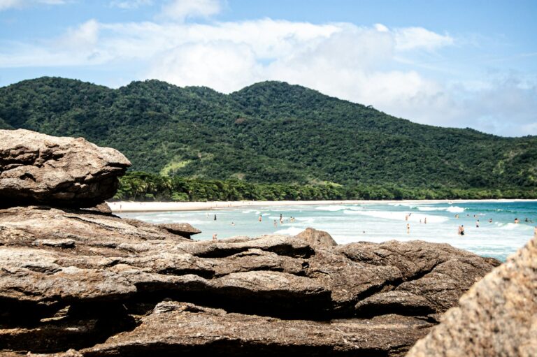
Ilha Grande
Ilha Grande is a mountainous island of 193 km² in the bay of the same name, part of the municipality of Angra…
Explore →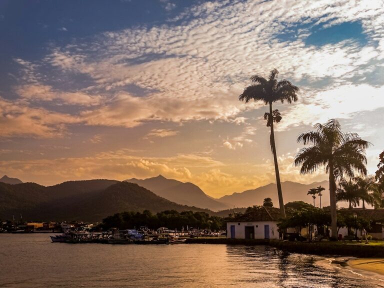
Paraty
Paraty is Brazil's most complete surviving colonial port town, its 18th-century core of whitewashed, granite-trimmed buildings and cobbled streets inscribed by UNESCO…
Explore →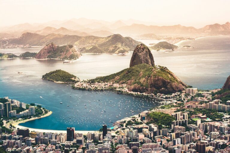
Rio de Janeiro
Rio de Janeiro sits on a narrow coastal strip between the Serra do Mar escarpment and Guanabara Bay, its granite peaks, rainforest…
Explore → São Paulo SP3 destinationsState page →
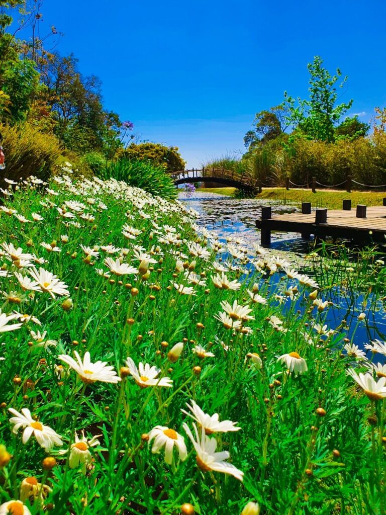
Campos do Jordão
Campos do Jordão is Brazil's highest city, sitting at 1,628 metres in the Mantiqueira range roughly two and a half hours from…
Explore →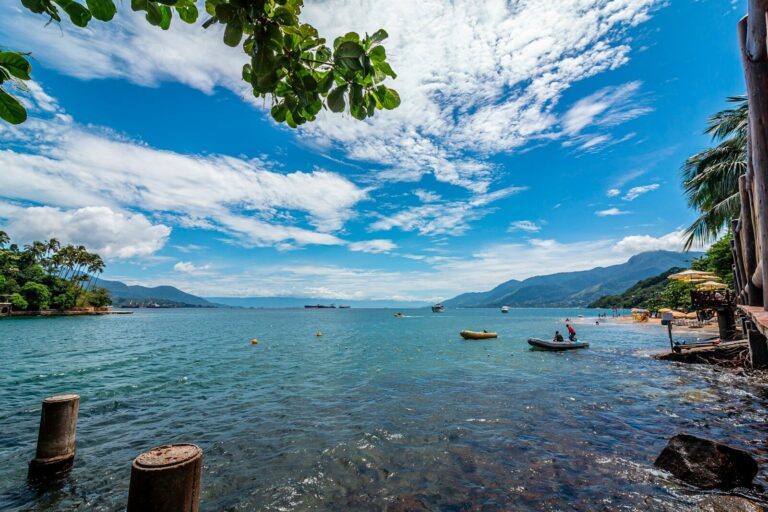
Ilhabela
Ilhabela is Brazil's largest island municipality, with roughly 84% of its 348 km² protected within the Parque Estadual de Ilhabela, part of…
Explore →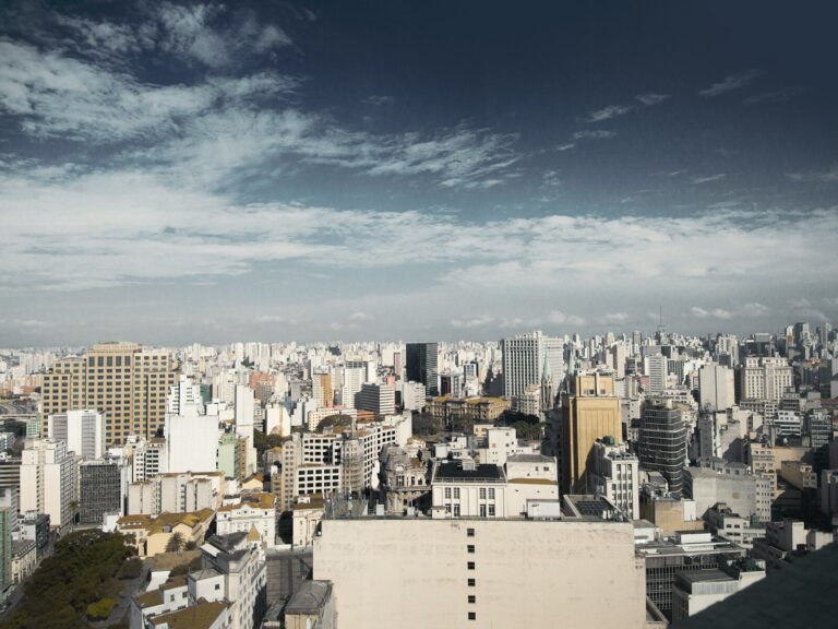
São Paulo
São Paulo is Brazil's undisputed gateway city and the engine of its business-travel and MICE economy, generating roughly a tenth of national…
Explore →South Sul
Brazil's most European-feeling region: the falls at Iguaçu, wine country, and mountain towns built by German and Italian settlers.
 Paraná PR2 destinationsState page →
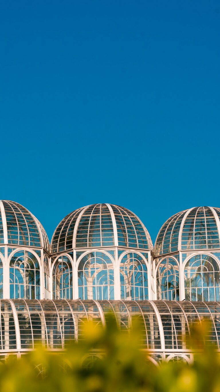
Curitiba
Curitiba, capital of Paraná, sits on a plateau at around 930 metres, which gives it one of the coolest climates of any…
Explore →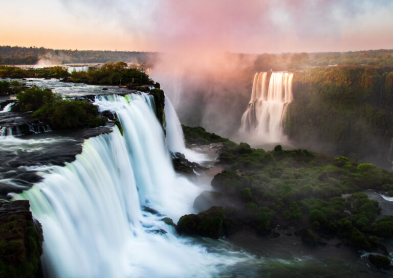
Iguaçu Falls
Foz do Iguaçu sits in western Paraná at the literal meeting point of Brazil, Argentina and Paraguay, where the Iguaçu River drops…
Explore → Rio Grande do Sul RS3 destinationsState page →
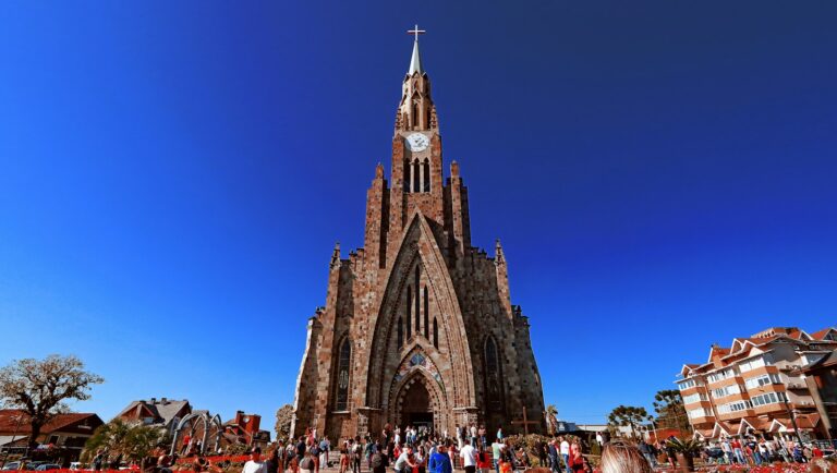
Canela
Canela is a Serra Gaúcha town of about 49,000 people (2022 census), at roughly 837 m above sea level and some 123…
Explore →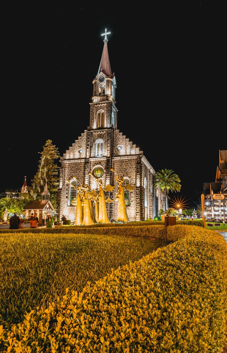
Gramado
Gramado is a resort town of about 40,000 people (2022 census) in the Serra Gaúcha, the highland of north-eastern Rio Grande do…
Explore →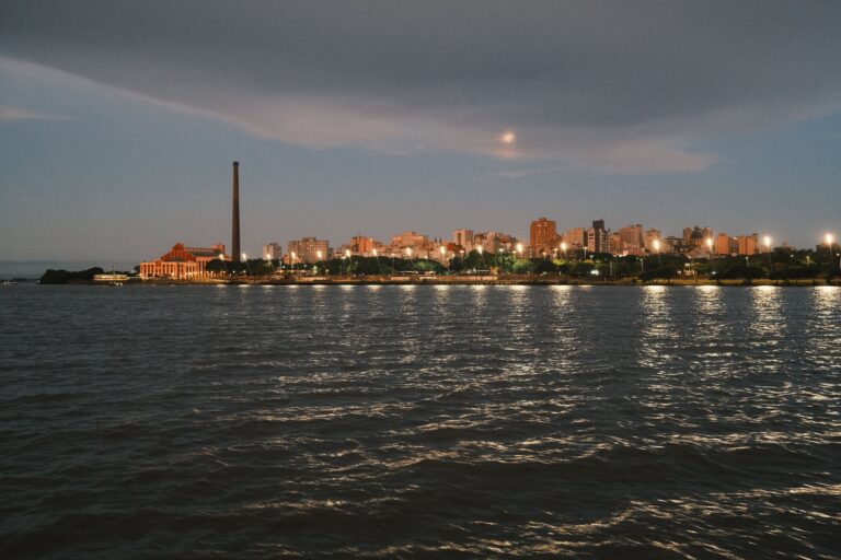
Porto Alegre
Porto Alegre is the southernmost state capital in Brazil and the commercial, political and cultural hub of Rio Grande do Sul, spread…
Explore → Santa Catarina SC2 destinationsState page →
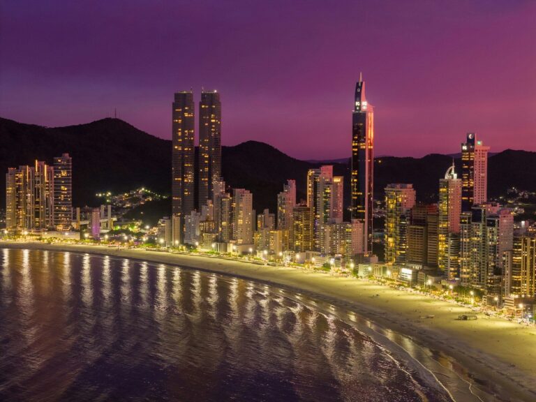
Balneário Camboriú
Balneário Camboriú is Brazil's most vertical beach destination, a compact 46 km² municipality on the Santa Catarina coast whose dense cluster of…
Explore →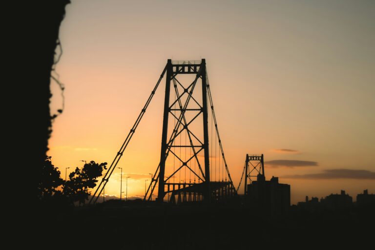
Florianópolis
Florianópolis is Brazil's only insular state capital, a city built across Santa Catarina Island and a strip of mainland, linked since 1926…
Explore →