
Mount Roraima
All of Brazil, within reach.

Diagonal bands of blue, white and green rise from lower left to upper right, crossed near the bottom by a thin red band for the equator, with a gold star representing the star that stands for Roraima on the national flag. Designed by Mário Barreto, it was established by state law in 1996.
Mount Roraima in pictures
About Mount Roraima
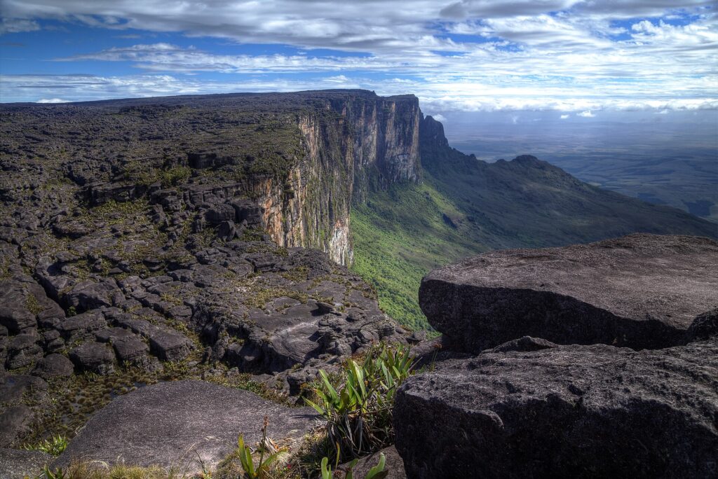
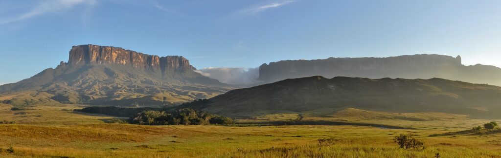
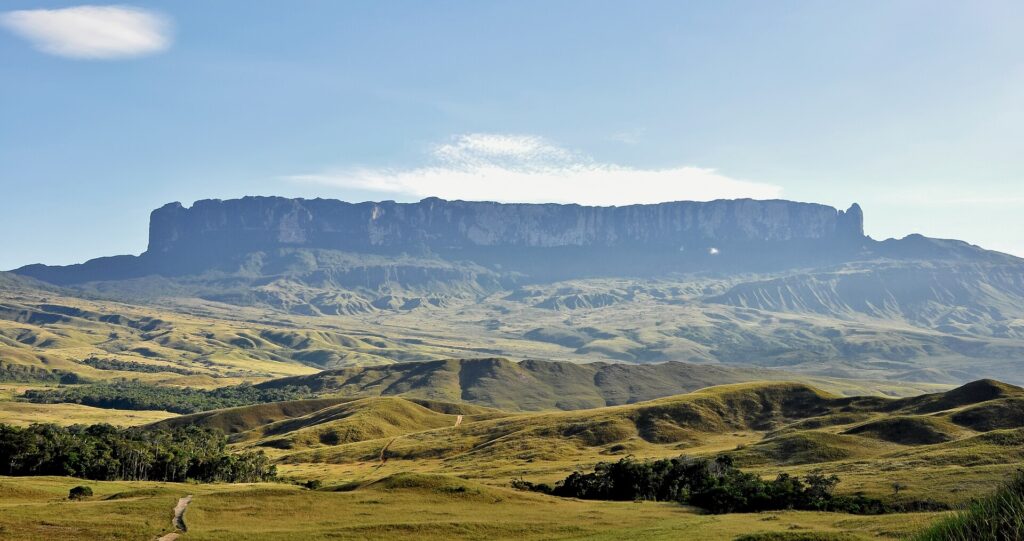
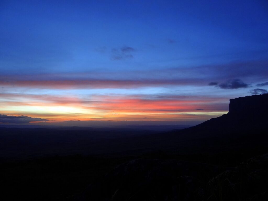
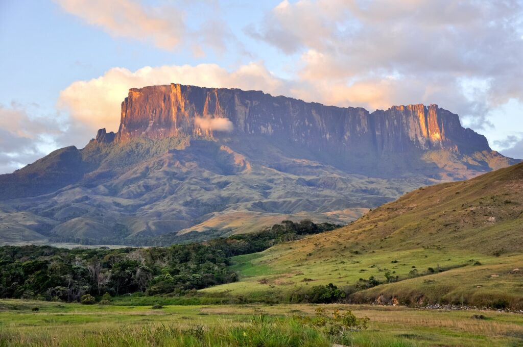
Mount Roraima is a 2,810 metre tepui, a flat-topped sandstone mountain ringed by cliffs of 400 to 1,000 metres, standing on the tripoint of Brazil, Venezuela and Guyana. Its rock dates back some 1.7 to 2 billion years, and the summit plateau, more than 10 km long, is a landscape of black rock, quartz crystals, pools and endemic plants and animals such as the tiny Roraima bush toad. About 85% of the mountain lies in Venezuela, inside Canaima National Park, a UNESCO World Heritage Site, 10% in Guyana and 5% in Brazil. The Brazilian part is protected by Monte Roraima National Park, created in 1989 in the municipality of Uiramutã and fully contained in the Raposa Serra do Sol Indigenous Territory, home to the Ingarikó and Macuxi, and it has no established trekking route. The standard route starts at the Pemon community of Paraitepui in Venezuela. From Boa Vista, groups drive about 220 km to Pacaraima, cross to Santa Elena de Uairén and continue by 4x4 to the trailhead. The guided trek usually takes six to eight days, with two nights on the approach and several on the summit, and relies on licensed guides and Pemon porters. It is non-technical but physically demanding, with long days, river crossings and cold, wet nights on top, and with summit rainfall estimated at 2,000 to 4,000 mm a year, cloud and rain are possible in any month. Everything is carried out, including human waste, and bags are checked for crystals on the way down. For agencies, it suits small, fit groups who accept expedition conditions and flexible dates. Honesty about risk is essential: crossings at Pacaraima were disrupted in January 2026, and as of June 2026 the US advisory rates Venezuela at Level 3 and advises against travel to rural Bolívar state, where the route lies. Every departure should be confirmed against current advisories, entry rules and insurance cover.
Boa Vista-Atlas Brasil Cantanhede International Airport
Roraima's only airport with scheduled jet service, operated by Vinci since April 2021, with domestic links to Brasília, Manaus and São Paulo-Guarulhos.
How Mount Roraima came to be
Sourced milestones your team can use for guest briefings and storytelling, not filler copy.
Curiosities & practical notes
What's on the table
Damurida
Roraima's signature indigenous dish, a hot, pepper-rich broth of fish or game with cariru greens and black tucupi, eaten with cassava beiju; best tried in Boa Vista before or after the trek.
Paçoca de carne
Sun-dried meat pounded with cassava flour, traditionally eaten with banana, a regional staple of Roraima.
Beiju
A flatbread of cassava that accompanies damurida and also serves as a base for traditional drinks.
Caxiri
A traditional fermented drink with a cassava base, with variations using sweet potato, corn, yam or toasted beiju.
What there is to see
Marked where a site carries UNESCO World Heritage status directly, versus a locally or nationally protected landmark.
Mount Roraima summit plateau
A plateau more than 10 km long of black sandstone, pools and endemic plants, reached on a multi-day guided trek from Paraitepui.
Triple Point
The marker at about 2,734 metres where the borders of Brazil, Venezuela and Guyana meet on the summit.
Maverick Rock
The highest point of the mountain at 2,810 metres, a favourite summit viewpoint in clear weather.
Paraitepui
The Pemon village in Venezuela where the standard trek begins and where guides and porters are organised.
Monte Roraima National Park
Brazil's park on the southern flank, created in 1989 within the Raposa Serra do Sol Indigenous Territory, with no established tourist route.
Pacaraima
Roraima's highest town at about 920 metres and the road border with Venezuela, known locally as BV-8, about 220 km from Boa Vista.
What else we brief agencies on
This is what we prepare for every RFP, whether or not it's published on this page yet:
On request for every proposal
- Best season / weather windows and blackout dates for groups & MICE
- Permit and quota logistics for regulated attractions, lead time and group-size caps
- Accessibility notes and physical-difficulty ratings per activity
- Vetted ground partners, guides and transport already used on past programs
- Sustainability / certification credentials relevant to client RFPs, where they genuinely exist
- Real, checked room and vehicle availability for your travel dates, not a generic quote
