
Cruzeiro do Sul
All of Brazil, within reach.

A diagonal divides the flag into yellow (upper left) and green (lower right), echoing the national colors, with a red star, the 'Estrela Altaneira', honoring those who fought for Acre's annexation to Brazil. The design derives from the 1899 flag of the Independent State of Acre and was formalized by state law in 1995.
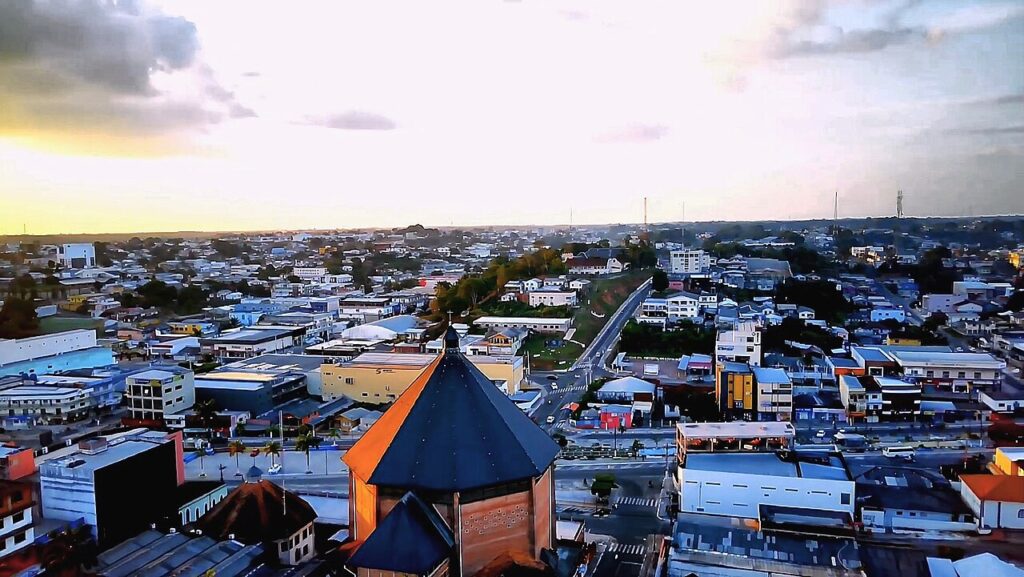
Cruzeiro do Sul in pictures
About Cruzeiro do Sul
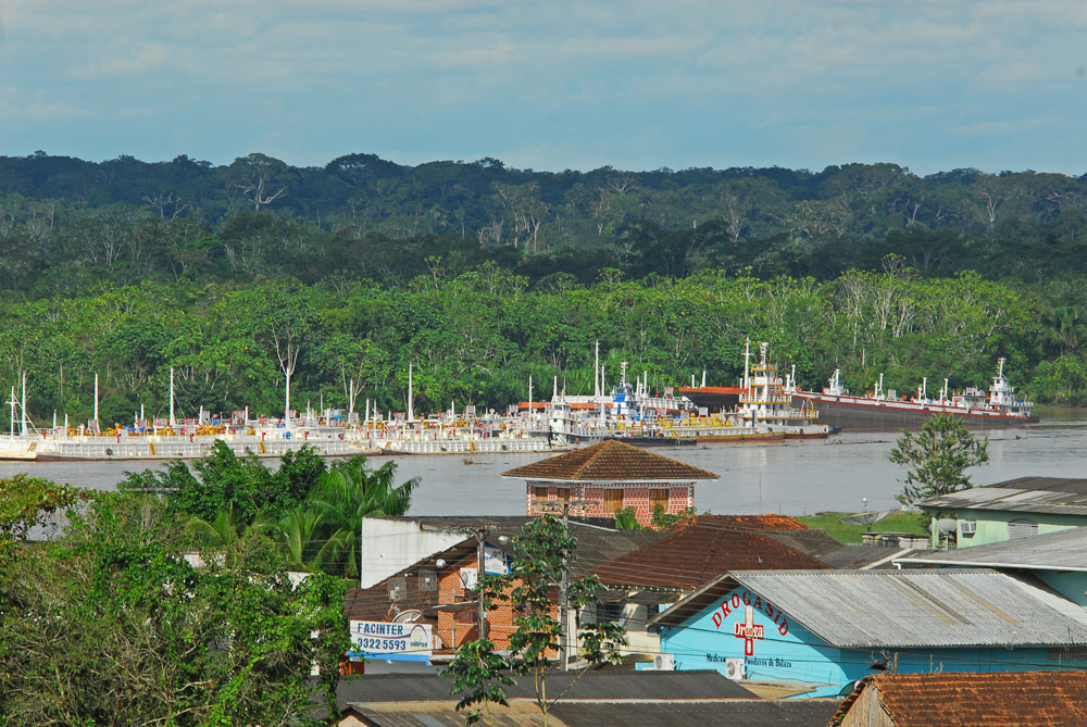
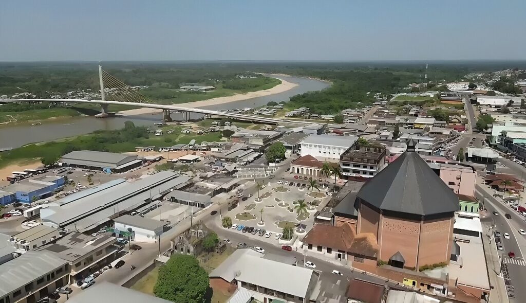
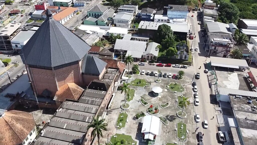
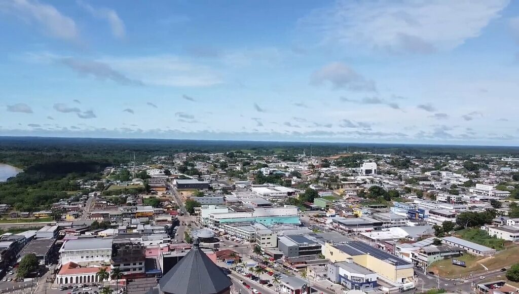
Cruzeiro do Sul is the second city of Acre and the commercial centre of the Juruá valley in Brazil's far west. It was founded in September 1904 by Colonel Gregório Thaumaturgo de Azevedo as the seat of the Alto Juruá Department, a year after the Treaty of Petrópolis made Acre Brazilian, and was named after the Southern Cross constellation. The town grew on the rubber trade and on the Juruá River, a 2,410 km tributary of the Amazon that still brings cargo up from Manaus. The 2022 census counted 91,888 inhabitants. Local identity is tied to the Náua people who once dominated the area, to the octagonal Catedral Nossa Senhora da Glória, completed in 1965, and above all to farinha de Cruzeiro do Sul, a cassava flour made in family flour houses that in 2017 became the first cassava product in Brazil with a geographical indication. In December 2024 the city was designated National Capital of Cassava Flour. The 550 m Ponte da União over the Juruá, opened in 2011, is the landmark of the riverfront, and the city also holds about 23% of Serra do Divisor National Park. For agencies, Cruzeiro do Sul works as the base for the western Acre: a night or two of arrival and departure around a Serra do Divisor expedition, cultural visits to flour houses and cooperatives, riverfront walks and short trips to the river beaches and lakes around town. It suits FIT, small groups, photographers and study tours on the Amazon economy rather than large MICE groups, and hotel stock is modest. Logistics should be clear from the start. Cruzeiro do Sul is about 630 to 650 km from Rio Branco on the BR-364, a long drive, so flying into CZS is the practical option, with Rio Branco as the usual connection. The airport is about 15 km from the centre. The Juruá floods from December to May and runs low from June to November, which changes river access, and Acre is two hours behind Brasília time, which matters for same-day connections.
Aeroporto Internacional de Cruzeiro do Sul, Marmud Cameli
Brazil's westernmost airport, inaugurated in 1970 and operated by Vinci Airports under a 30-year concession since 2021, with scheduled domestic flights including the link to Rio Branco.
Rio Branco-Plácido de Castro International Airport
Acre's main gateway, with connections to Brasília and São Paulo and onward flights to Cruzeiro do Sul.
How Cruzeiro do Sul came to be
Sourced milestones your team can use for guest briefings and storytelling, not filler copy.
Curiosities & practical notes
What's on the table
Farinha de Cruzeiro do Sul
The region's cassava flour, made in family flour houses and prized across Brazil for its texture and crunch.
Baixaria
Acre's classic breakfast of steamed corn couscous with seasoned minced beef, fresh herbs and a fried egg.
Quibe de macaxeira
A local take on the Arab kibbeh, made with cassava in place of bulgur.
Saltenha
A fried pastry filled with shredded chicken and jambu cooked in tucupi, a popular Acre snack.
Tacacá
A hot broth of tucupi, the yellow cassava extract, with tapioca, shrimp and jambu leaves.
Pirarucu à casaca
Layered pirarucu, the giant Amazonian fish, served with rice, farofa and fried banana.
What there is to see
Marked where a site carries UNESCO World Heritage status directly, versus a locally or nationally protected landmark.
Catedral Nossa Senhora da Glória
The octagonal cathedral in a Germanic style, built between 1957 and 1965, which dominates the city centre.
Ponte da União
A 550 m cable-stayed bridge over the Juruá, opened in 2011 and designed to resist earthquakes.
Estação do Porto
A 1912 riverside station building with a cast-iron arch brought from England.
Instituto Santa Terezinha
A colonial-style building that housed the city's first primary and secondary school.
Fórum Civil Caio Valadares
The city's neoclassical courthouse, one of its best-kept historic buildings.
Teatro dos Náuas
The city theatre, named after the Indigenous people of the Juruá.
Igarapé Preto
A stream with a river beach of clear, dark water and light sand, a local swimming spot.
What else we brief agencies on
This is what we prepare for every RFP, whether or not it's published on this page yet:
On request for every proposal
- Best season / weather windows and blackout dates for groups & MICE
- Permit and quota logistics for regulated attractions, lead time and group-size caps
- Accessibility notes and physical-difficulty ratings per activity
- Vetted ground partners, guides and transport already used on past programs
- Sustainability / certification credentials relevant to client RFPs, where they genuinely exist
- Real, checked room and vehicle availability for your travel dates, not a generic quote
