
Serra do Tepequém
All of Brazil, within reach.

Diagonal bands of blue, white and green rise from lower left to upper right, crossed near the bottom by a thin red band for the equator, with a gold star representing the star that stands for Roraima on the national flag. Designed by Mário Barreto, it was established by state law in 1996.
Serra do Tepequém in pictures
About Serra do Tepequém
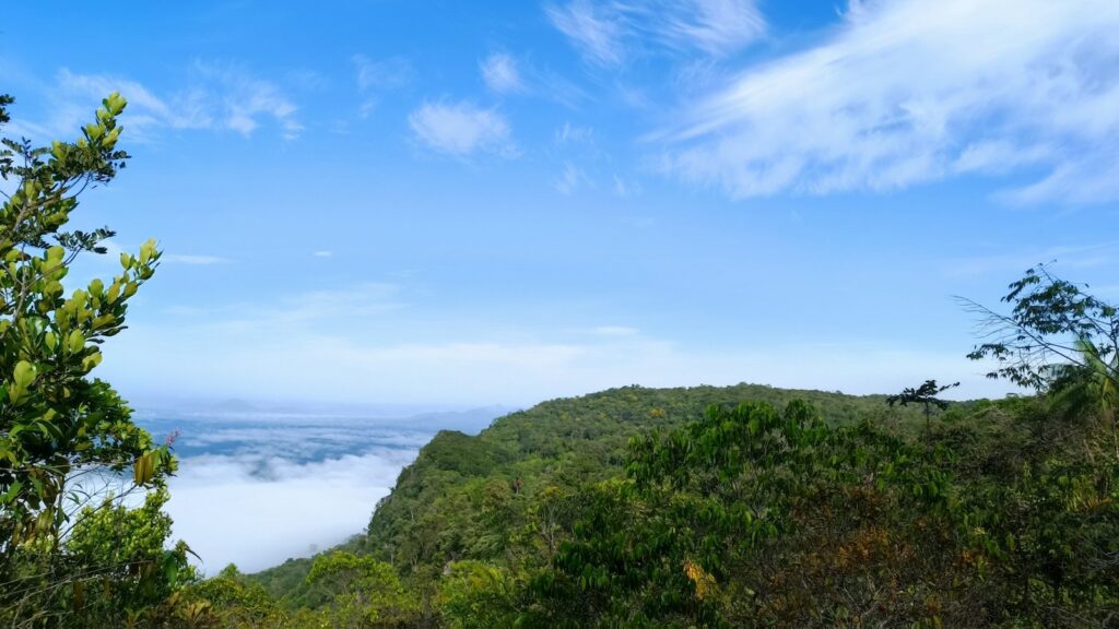
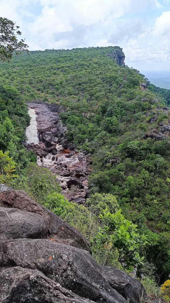
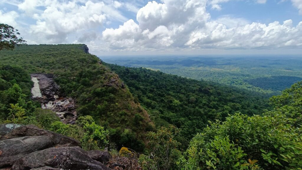
The Serra do Tepequém is a flat-topped mountain in the municipality of Amajari, in northern Roraima, about 210 km by road from Boa Vista. Its plateau rises to roughly 1,000 m above the surrounding savanna and forest, and its name is usually traced to Indigenous words meaning fire of god or god of fire. The first diamond prospectors arrived in January 1937, and for decades the serra was worked by garimpeiros and later by mining companies, with a golden age in the 1940s and 1950s. Machine mining was eventually banned in the late 1990s, and from the early 2000s tourism became the main activity of the small Vila do Paiva, home to around 350 people. The legacy is visible everywhere: waterfalls such as Paiva, Barata, Funil and Cupim, natural pools, lagoons left by extraction, caves and panoramic viewpoints over the Amajari lowlands. For agencies, Tepequém is the most practical nature extension from Boa Vista, well suited to two or three night stays combining easy waterfall walks, longer guided trails, birdwatching, cycling and 4x4 circuits, or to combining with a Monte Roraima or Lavrado program. It also appeals to clients interested in frontier and mining history, told through the stories of the village's pioneer families, and to birders and orchid enthusiasts. Logistics are simple but basic: the road from Boa Vista to the Vila do Paiva is fully paved via BR-174 and RR-203, although potholes are common, while access roads to individual attractions vary and some require 4x4 vehicles. Services in the village are limited, with a few pousadas, the Sesc lodge and restaurants that do not all open daily, and there are no fuel stations or banks, so vehicles should be refuelled in Amajari. The drier months from September to March are generally preferred, while the rains from April to August bring fuller waterfalls but more demanding trails.
Aeroporto Internacional de Boa Vista, Atlas Brasil Cantanhede
Roraima's main gateway, operated by Vinci since 2021, with scheduled domestic links to Brasília, Manaus and São Paulo-Guarulhos.
How Serra do Tepequém came to be
Sourced milestones your team can use for guest briefings and storytelling, not filler copy.
Curiosities & practical notes
What's on the table
Damurida
Roraima's signature Indigenous dish, a hot, pepper-rich broth of fish or game with cariru greens and black tucupi, eaten with cassava beiju.
Paçoca de carne
Sun-dried meat pounded with cassava flour, traditionally eaten with banana.
Beiju
A cassava flatbread that accompanies damurida and also serves as a base for traditional drinks.
Caxiri
A traditional fermented drink with a cassava base, with variations using sweet potato, corn, yam or toasted beiju.
What there is to see
Marked where a site carries UNESCO World Heritage status directly, versus a locally or nationally protected landmark.
Cachoeira do Paiva
The most accessible waterfall on the serra, with natural pools close to the Vila do Paiva.
Cachoeira do Barata
A waterfall known for its natural pool of clear green water.
Cachoeira do Funil
A waterfall whose shape was altered by dynamite during the diamond era.
Cachoeira do Cupim
The simplest waterfall to reach, about 150 m from the access point.
Laje Verde
A waterfall on rough terrain, visited only with a local guide.
Platô do Tepequém
The highest part of the serra, explored on trekking, cycling and 4x4 circuits.
Vila do Paiva
The former mining village, now the tourism base with pousadas, restaurants, an artisan centre and a health post.
Estação Ecológica de Maracá
A federal ecological station created in 1981 on Maracá island in the Uraricoera River, covering about 104,000 hectares and devoted mainly to research.
What else we brief agencies on
This is what we prepare for every RFP, whether or not it's published on this page yet:
On request for every proposal
- Best season / weather windows and blackout dates for groups & MICE
- Permit and quota logistics for regulated attractions, lead time and group-size caps
- Accessibility notes and physical-difficulty ratings per activity
- Vetted ground partners, guides and transport already used on past programs
- Sustainability / certification credentials relevant to client RFPs, where they genuinely exist
- Real, checked room and vehicle availability for your travel dates, not a generic quote
