
Sergipe
Brazil's smallest state packs a relaxed capital, colonial São Cristóvão and the São Francisco canyons of Xingó: easy add-ons and short circuits for agencies.

The state
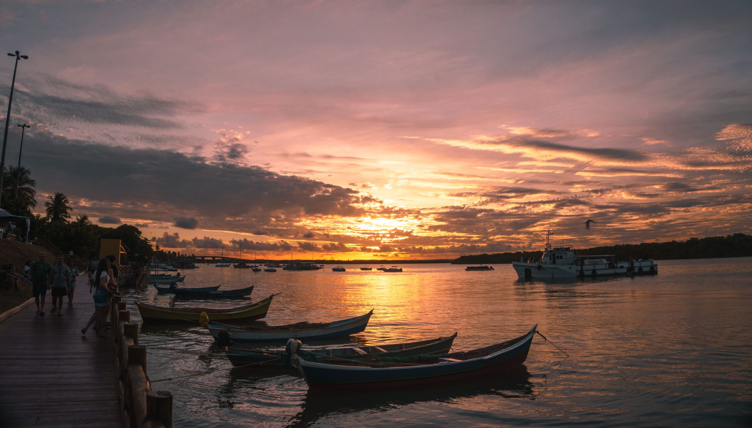
Sergipe is Brazil's smallest state by area, set between Bahia and Alagoas with a coast of beaches, mangroves and river mouths, a strip of Atlantic Forest and a semi-arid interior that reaches the São Francisco River. Its capital, Aracaju, was planned in 1855 to replace the colonial capital São Cristóvão, and today it is a calm, well-organised city with a long beachfront at Atalaia. São Cristóvão, founded in 1590 and counted among the oldest towns in Brazil, has its São Francisco Square inscribed by UNESCO, while nearby Laranjeiras preserves colonial churches and strong Afro-Brazilian traditions. Seafood, especially crab, defines the local table.
For agencies Sergipe works best as a short, easily managed extension, for example from Salvador, some 350 km to the south, or as part of a coastal circuit toward Alagoas. Compact distances mean Aracaju can be combined with São Cristóvão and Laranjeiras in a day, while the Xingó canyons, about 213 km away at Canindé de São Francisco, justify a full-day excursion or an overnight. The state suits FIT, small groups and culturally minded travellers; June is dominated by the Forró Caju and São João festivities, when demand rises.
The drier, sunnier period runs from about September to February, with October to December the driest; rain is concentrated between March and August, peaking in May.
Destinations 2
Destinations in this state covered by YourBrasil ground services.
Aracaju
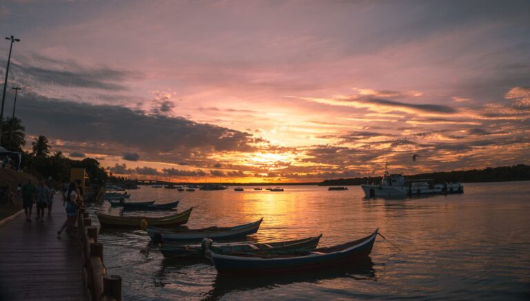
Aracaju, the capital of Sergipe, is Brazil's second planned state capital (after Teresina), laid out on a tidy 19th-century grid that makes group logistics…
Explore →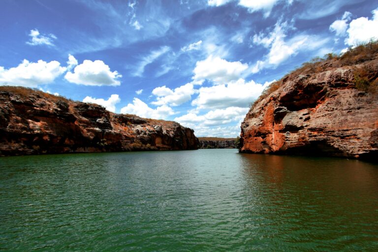
Xingó Canyons
The Xingó Canyons are a stretch of the São Francisco River in the semi-arid sertão where Sergipe meets Alagoas. Since the Xingó hydroelectric dam…
Explore →Timeline
- 1590
Cristóvão de Barros conquers the territory and founds São Cristóvão, later the captaincy's capital.
- 1820
On 8 July Sergipe is emancipated from Bahia by royal decree.
- 1855
The capital moves from São Cristóvão to the newly planned city of Aracaju.
- 1920
The state flag, based on a merchant's ship flag, is officially adopted.
- 1994
The Xingó hydroelectric dam on the São Francisco is completed, creating the reservoir and canyon landscape now visited by boat.
- 1996
Laranjeiras is listed by IPHAN as national heritage.
- 2010
São Francisco Square in São Cristóvão is inscribed on the UNESCO World Heritage List.
- 2011
The Museu da Gente Sergipana, an interactive museum of state culture, opens in Aracaju.
Landmarks
São Francisco Square, São Cristóvão UNESCO
Colonial square framed by the São Francisco church and convent and civic buildings.
Xingó canyons
Canyons of the São Francisco River at Canindé de São Francisco, protected as a natural monument and visited by boat.
Laranjeiras historic centre
IPHAN-listed colonial town with 18th-century churches and the Museu Afro-Brasileiro de Sergipe.
Orla de Atalaia, Aracaju
The capital's landscaped beachfront, lined with restaurants and leisure areas.
Museu da Gente Sergipana
Interactive museum of Sergipe culture in a restored 1926 building in Aracaju.
Museu de Arqueologia de Xingó
Archaeology museum presenting finds from the São Francisco valley near the canyons.
Festivals and events
Forró Caju
Aracaju's major June festival, held since 2001 near the municipal markets, with forró concerts over many nights.
São João in Estância
June festivities in Estância known for the barco de fogo fireworks tradition.
1 en.wikipedia.org2 pt.wikipedia.org3 en.wikipedia.org4 commons.wikimedia.org5 cepsbrasil.com.br6 en.wikipedia.org7 en.wikipedia.org8 whc.unesco.org9 en.wikipedia.org10 en.wikipedia.org11 pt.wikipedia.org12 pt.wikipedia.org13 pt.wikipedia.org14 pt.wikipedia.org15 pt.wikipedia.org16 pt.wikipedia.org17 climatestotravel.com
← All destinations