
Taquaruçu
All of Brazil, within reach.

A white diagonal band between a blue triangle at upper left and a yellow triangle at lower right carries a stylised golden sun: blue stands for the rivers, yellow for the state's wealth, white for peace and the sun for a new dawn. It was established by state law in November 1989.
Taquaruçu in pictures
About Taquaruçu
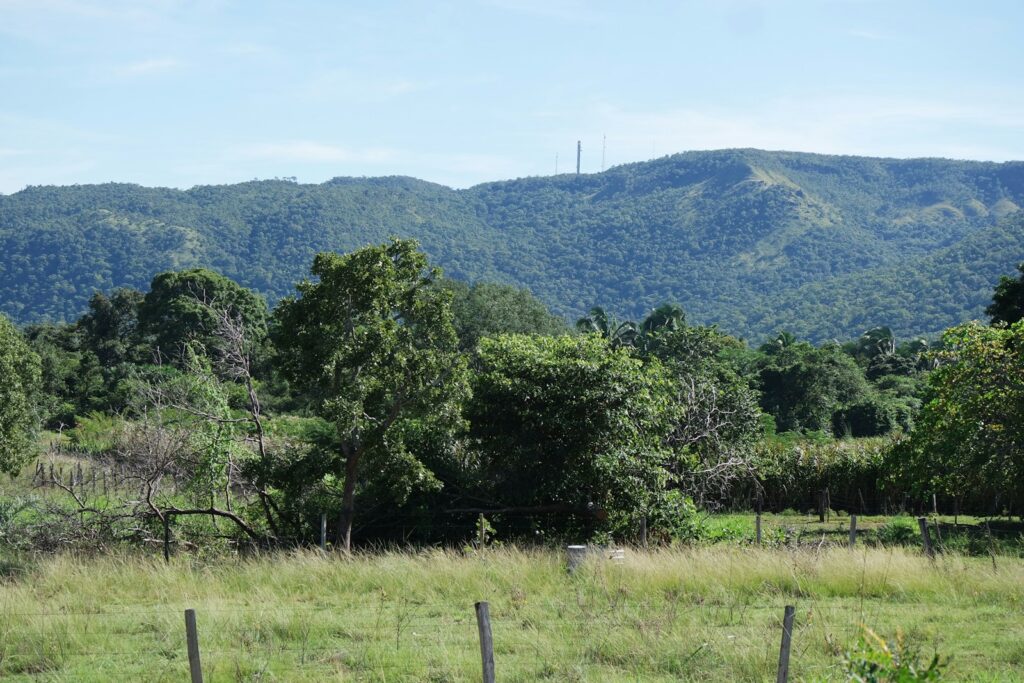
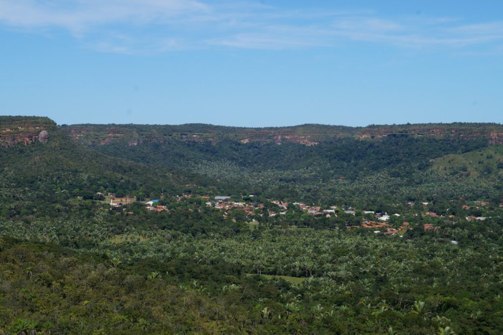
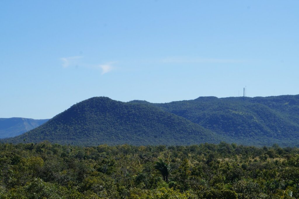
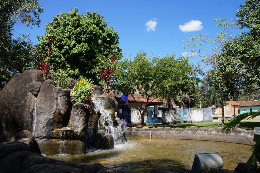
Taquaruçu is not a separate town but a district of the municipality of Palmas, set in the hills of the Serra do Lajeado about 32 km from the city centre along the TO-030. It began as a small municipality of its own, created in 1988 as Taquarassu do Porto, and was absorbed into the new state capital as a district at the end of 1989. Today it is a village of a few thousand people, 4,739 at the 2010 census, at an average altitude of about 411 m, the highest and coolest part of the municipality. Its appeal is water: sandstone escarpments covered in cerrado, with patches of dry forest and Amazonian trees, drain into more than 80 catalogued waterfalls inside the Serra do Lajeado Environmental Protection Area. The best known are Roncadeira, with a drop usually given as around 70 m, and Escorrega Macaco, about 50 m, both on the same trail close to the village. Palmas' municipal government has promoted the district as an ecotourism hub since 2001. For agencies, Taquaruçu works as a half or full day excursion from Palmas, or as one or two nights in simple pousadas for clients who prefer cooler hills to the city, and it combines naturally with the lake and civic sights of Palmas itself. It suits active FIT and small groups: short hikes to waterfalls, rappelling at Roncadeira, the Voo do Pontal zipline and a sunrise or sunset climb to the Pedra do Pedro Paulo viewpoint. Larger groups need to be split, since trails are narrow and a daily capacity of about 600 visitors has been recommended for the main circuit. Several waterfalls sit on private farms reached by 7 to 11 km of dirt road, with their own fees and opening hours, so a local guide and prior booking are advisable. Water flow is strongest in the rainy season, roughly October to April; in a severe dry season some falls drop to a fraction of their normal volume. Trails involve steps and elevation changes, so fitness should be matched to the program.
Aeroporto de Palmas, Brigadeiro Lysias Rodrigues
Opened on 5 October 2001 with a 2,500 m runway; LATAM, Gol and Azul link Palmas with Brasília, São Paulo, Goiânia and other Brazilian cities.
How Taquaruçu came to be
Sourced milestones your team can use for guest briefings and storytelling, not filler copy.
Curiosities & practical notes
What's on the table
Chambari (chambaril)
Slow-cooked beef shank seasoned with herbs and peppers, served with its broth, white rice and cassava flour.
Peixe na telha
Fish fillets, typically tucunaré or pintado, cooked on a clay tile with peppers, tomatoes, onion and coconut milk.
Arroz com pequi
Yellow rice cooked with pequi, the aromatic Cerrado fruit whose pit hides fine spines and must be eaten with care.
Paçoca de carne de sol
Shredded salted beef pounded with cassava flour, onion and garlic, eaten alone or with rice and cassava.
Bolo de puba
A moist cake of fermented cassava with a slightly tangy flavour, often with coconut or cheese.
Biscoito de queijo
A cheese biscuit made with tapioca starch, crisp outside and soft inside, also called peta.
What there is to see
Marked where a site carries UNESCO World Heritage status directly, versus a locally or nationally protected landmark.
Cachoeira da Roncadeira
Taquaruçu's signature waterfall, around 70 m high with a cold plunge pool, used for rappelling.
Cachoeira Escorrega Macaco
A waterfall of about 50 m with a small rock-bound pool, on the same trail as Roncadeira.
Cachoeira do Evilson
A 25 m waterfall on private land about 14 km from the village, often combined with the nearby Cachoeira do Bugio.
Cachoeira da Arara
A waterfall of about 30 to 35 m reached by an easy 730 m trail, about 12 km from the village.
Vale do Vai Quem Quer
A valley about 12 km from the village with small falls such as Vai Quem Quer, about 4 m, and Sambaíba, about 12 m.
Tirolesa Voo do Pontal
A zipline of about 1,300 m and around 200 m high over the Serra do Lajeado, in operation since 2009.
Pedra do Pedro Paulo
A free natural viewpoint at about 600 m altitude, reached by a climb of around 25 minutes.
What else we brief agencies on
This is what we prepare for every RFP, whether or not it's published on this page yet:
On request for every proposal
- Best season / weather windows and blackout dates for groups & MICE
- Permit and quota logistics for regulated attractions, lead time and group-size caps
- Accessibility notes and physical-difficulty ratings per activity
- Vetted ground partners, guides and transport already used on past programs
- Sustainability / certification credentials relevant to client RFPs, where they genuinely exist
- Real, checked room and vehicle availability for your travel dates, not a generic quote
