
Chapada dos Guimarães
All of Brazil, within reach.

A blue field with a white lozenge and a green circle bearing a gold five-pointed star. Blue stands for the sky, white for peace, green for the vast territory and the star for republican ideals and the mineral wealth that drew early settlers; first adopted in 1890 and restored in 1947.
Chapada dos Guimarães in pictures
About Chapada dos Guimarães
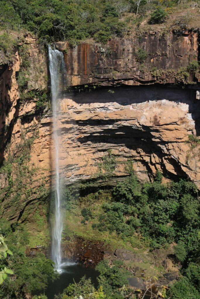
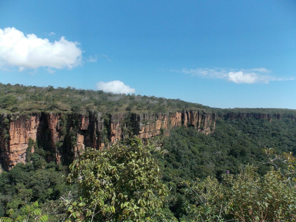
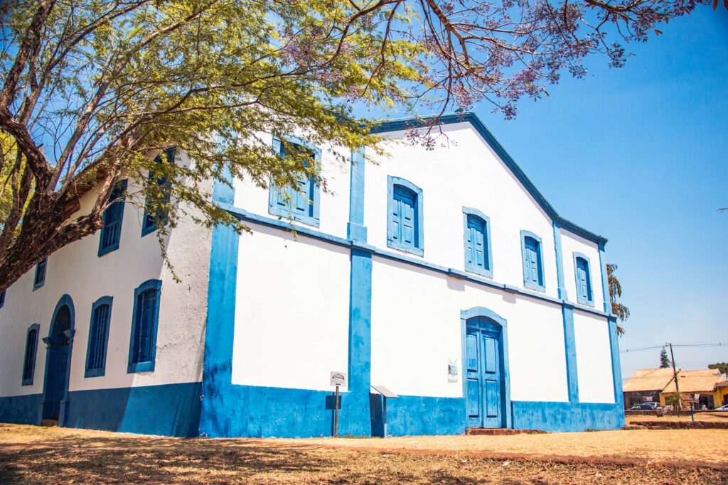
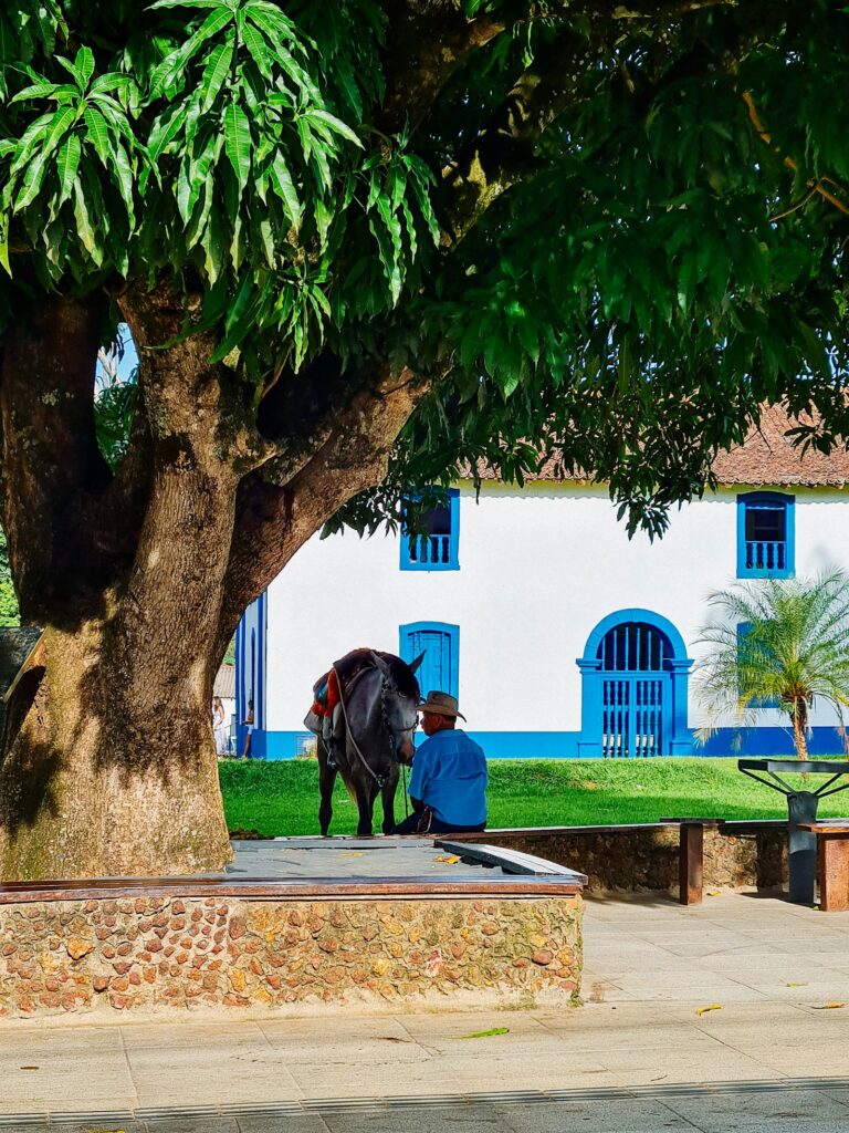
Chapada dos Guimarães is a sandstone plateau of the Cerrado about 65 km from Cuiabá, capital of Mato Grosso, reached in roughly an hour on the MT-251. Red cliffs of 600 to 800 metres mark the edge of the plateau, and Chapada dos Guimarães National Park, created in 1989 and managed by ICMBio, protects 32,630 hectares of canyons, waterfalls, caves and archaeological sites, with records of 659 plant, 242 bird and 76 mammal species. Highlights include the 86 metre Véu de Noiva waterfall, the Circuito das Cachoeiras, the wind-carved formations of Cidade de Pedra above the Rio Claro valley and the trek to Morro de São Jerônimo. The small town grew from a Jesuit mission of 1751 and keeps its 1779 church of Sant'Ana, listed by IPHAN, while a viewpoint 7 km from the centre marks the geodesic centre of South America. Outside the park, the municipality counts hundreds of waterfalls and the Aroe Jari sandstone cave. The plateau climate is milder than the lowlands, with temperatures typically between 12 and 25°C and 1,800 to 2,000 mm of rain a year. For agencies, Chapada works as a two or three night nature extension for clients visiting the northern Pantanal, which shares the Cuiabá gateway, or as a short stand-alone program for active travellers, families, birders and photographers. It combines well with the clear-water rivers of Nobres and Bom Jardim further north. Logistics are straightforward but need planning. Park entry is free and Véu de Noiva is self-guided, but the Circuito das Cachoeiras has a daily cap and requires online booking, and Cidade de Pedra and Morro de São Jerônimo can only be visited with accredited guides, the former also by 4x4. Accommodation is mostly pousadas in and around the town. The plateau is cooler than Cuiabá, one of Brazil's hottest cities, but the dry, windy season brings fire risk, and the rains bring fuller waterfalls and muddier trails.
Várzea Grande–Marechal Rondon International Airport
Mato Grosso's main gateway in Várzea Grande, operated by Aeroeste since 2019, with Azul, Gol and LATAM links to São Paulo, Brasília and other Brazilian cities.
How Chapada dos Guimarães came to be
Sourced milestones your team can use for guest briefings and storytelling, not filler copy.
Curiosities & practical notes
What's on the table
Mojica de pintado
Pieces of pintado catfish cooked in a sauce of onion, garlic, tomato and pepper and thickened with cassava, a riverside classic.
Maria Isabel
Rice cooked with shredded dried beef, garlic, onion and pepper, a practical dish of the sertão.
Pacu assado
Firm-fleshed pacu river fish seasoned with lime and garlic, often stuffed with banana farofa and roasted until the skin is crisp.
Farofa de banana-da-terra
Also called farofa cuiabana, plantain fried and mixed with manioc flour for a sweet and savoury side dish.
Furrundu
A traditional sweet of green papaya cooked with rapadura and spices such as clove, cinnamon and ginger, served with cheese and coffee.
What there is to see
Marked where a site carries UNESCO World Heritage status directly, versus a locally or nationally protected landmark.
Cachoeira Véu de Noiva
The 86 metre waterfall that is the symbol of the national park, seen from a viewpoint at the end of a short self-guided trail.
Circuito das Cachoeiras
A trail of about 6 km linking six waterfalls in the national park, with natural pools for swimming and a daily visitor cap.
Cidade de Pedra
Wind-carved sandstone formations and canyons up to 350 metres deep above the Rio Claro valley, visited with accredited guides by 4x4.
Morro de São Jerônimo
An isolated sandstone hill of about 800 metres inside the park, climbed on a long guided trek with wide views over the plateau.
Caverna Aroe Jari and Lagoa Azul
One of Brazil's largest sandstone caves, about 1,550 metres long, next to a grotto of intensely blue water.
Mirante do Centro Geodésico
A cliff-edge viewpoint about 7 km from town marking the geodesic centre of South America, popular at sunset.
Igreja de Sant'Ana
The 1779 church on the main square, built of rammed earth with carved and painted altars, listed by IPHAN in 1957.
What else we brief agencies on
This is what we prepare for every RFP, whether or not it's published on this page yet:
On request for every proposal
- Best season / weather windows and blackout dates for groups & MICE
- Permit and quota logistics for regulated attractions, lead time and group-size caps
- Accessibility notes and physical-difficulty ratings per activity
- Vetted ground partners, guides and transport already used on past programs
- Sustainability / certification credentials relevant to client RFPs, where they genuinely exist
- Real, checked room and vehicle availability for your travel dates, not a generic quote
