
Cabo Orange
All of Brazil, within reach.

Horizontal bands of blue, green, yellow and white, with a black and white geometric emblem at the hoist representing the Fortress of São José de Macapá. Green stands for the forests, yellow for mineral wealth, blue for the sky, white for peace and black for those who gave their lives for the state; it was established in 1984 and kept at statehood in 1988.
Cabo Orange in pictures

About Cabo Orange
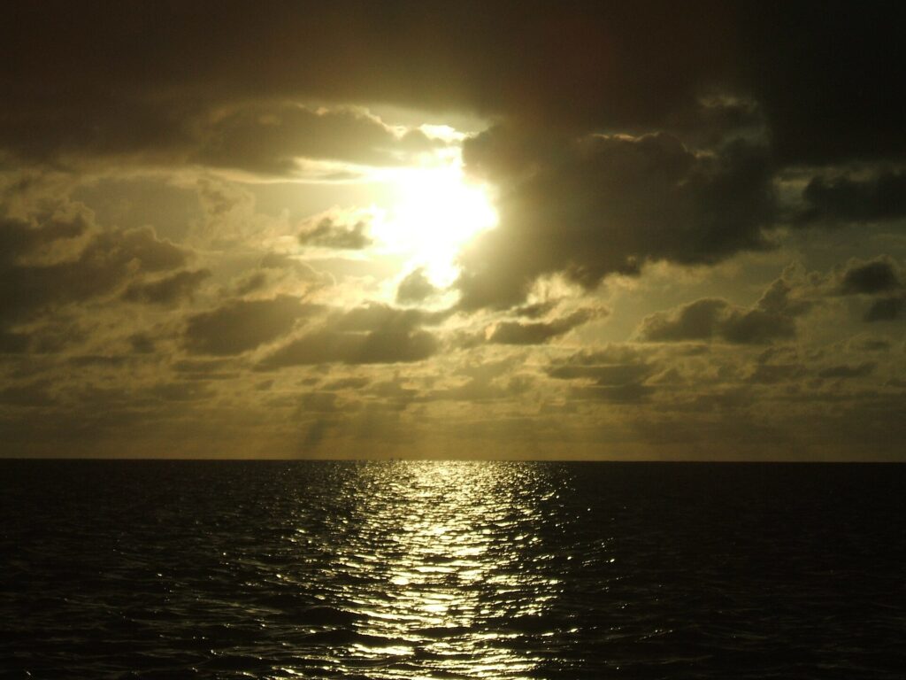
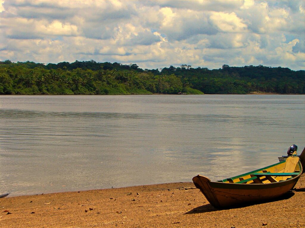
Cabo Orange National Park protects the far northern coast of Amapá, where the Brazilian shoreline ends at the estuary of the Oiapoque River. Created by decree on 15 July 1980, it was the first federal conservation unit in Amapá and covers about 657,000 hectares in the municipalities of Oiapoque and Calçoene. It borders French Guiana to the north, the Atlantic to the east, the Uaçá and Juminã Indigenous lands to the west and the Cunani quilombola territory to the south, and it includes a marine strip about 10 km wide and 200 km long. The park is named after Cabo Orange, the northernmost point of the Brazilian coastline. Its landscapes are mangroves of red mangrove and siriúba, periodically and permanently flooded grasslands that are unique in the Amazon region, buriti palm stands and patches of terra firme forest, crossed from south to north by the Cassiporé River. Designated a Ramsar wetland of international importance in 2013, it records more than 350 bird species, and its species list includes the jaguar, giant anteater, green sea turtle, West Indian and Amazonian manatees, scarlet ibis and American flamingo. For agencies, Cabo Orange is a special-interest product rather than a leisure park: birdwatching and nature photography, mangrove ecology, scientific or documentary expeditions and small private groups combining it with Oiapoque. There is no tourist infrastructure inside the park and visits need prior authorisation from the park management of ICMBio, whose base is in Oiapoque. The usual access is by speedboat from Oiapoque, around three to four hours, and the Cassiporé mouth can be rough; a southern approach runs by road from the BR-156 at Calçoene towards Cunani. The drier months from August to December are the recommended window, and access becomes harder in the rains from January to August. Groups should expect boat-based days, simple logistics and long road or charter legs to reach Oiapoque from Macapá.
Aeroporto Internacional de Macapá, Alberto Alcolumbre
Amapá's main gateway and the practical air access for Cabo Orange, connected to the rest of Brazil by domestic flights.
Aeroporto de Oiapoque
Oiapoque's 1,500 m airstrip, with no regular scheduled flights but usable for charters from Macapá.
How Cabo Orange came to be
Sourced milestones your team can use for guest briefings and storytelling, not filler copy.
Curiosities & practical notes
What's on the table
Pescada de gurijuba
Gurijuba, a firm white-fleshed fish of the Amapá coastal waters, often stewed in tucupi sauce.
Camarão no bafo
Fresh shrimp steamed in a pot or in banana leaves with salt, lime, cachaça and hot pepper.
Tucunaré na brasa
Tucunaré grilled over coals, a simple way to taste one of the region's best freshwater fish.
Tacacá
A hot broth of tucupi with jambu leaves, shrimp and tapioca, a staple of Amapá street food.
Açaí
Thick, unsweetened açaí pulp eaten the northern way, with cassava flour, often alongside fish.
What there is to see
Marked where a site carries UNESCO World Heritage status directly, versus a locally or nationally protected landmark.
Cabo Orange
The cape at the mouth of the Oiapoque estuary that marks the northern end of the Brazilian coastline.
Oiapoque estuary mangroves
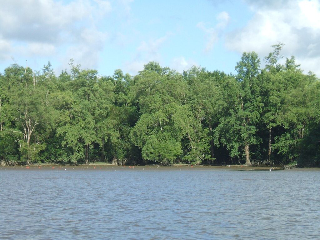
The mangrove belt of the river mouth, seen on the boat route from Oiapoque, with flocks of wading birds at low tide.
Rio Cassiporé
The river that crosses the park from south to north, often described as its backbone, with a notoriously rough mouth.
Vila Taperebá
A park support base on the banks of the Cassiporé, reached by the central river route.
Igarapé do Rego
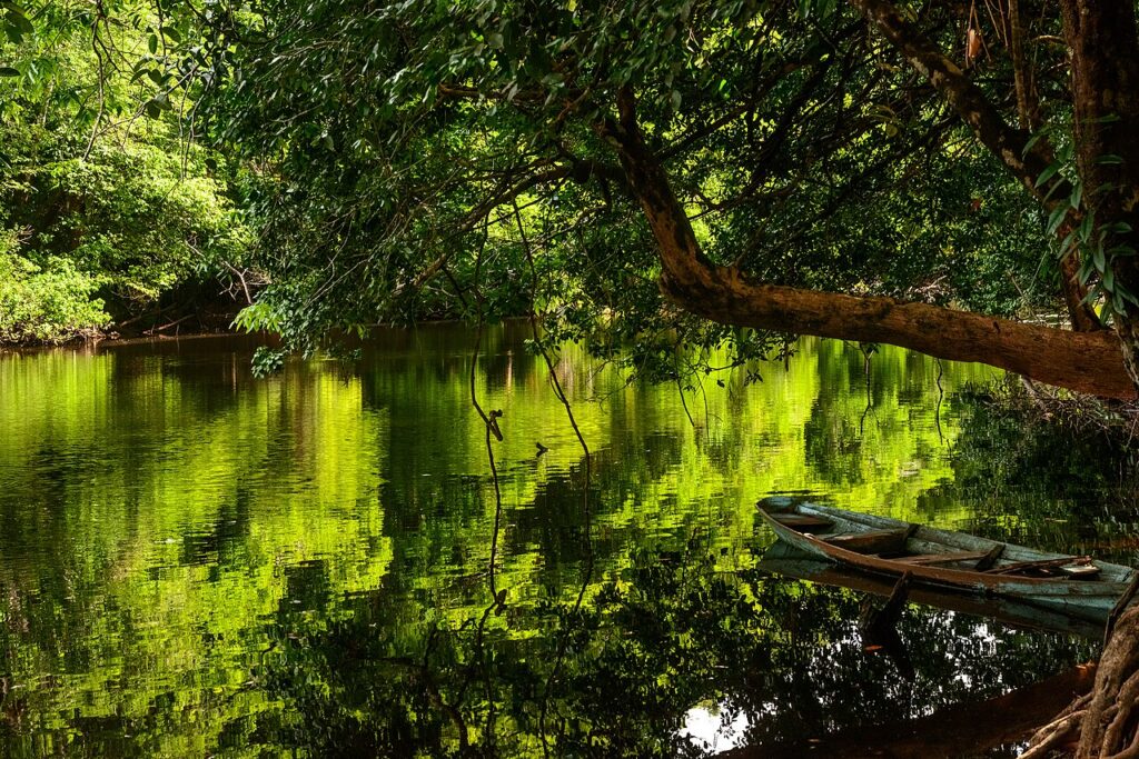
A forest-lined creek inside the park, where wooden boats move under the tree canopy.
Lago Maruani
A permanent lake within the park's natural grasslands.
Flooded grasslands
Periodically and permanently flooded fields with buriti palms, a landscape the Ramsar listing describes as unique in the Amazon region.
What else we brief agencies on
This is what we prepare for every RFP, whether or not it's published on this page yet:
On request for every proposal
- Best season / weather windows and blackout dates for groups & MICE
- Permit and quota logistics for regulated attractions, lead time and group-size caps
- Accessibility notes and physical-difficulty ratings per activity
- Vetted ground partners, guides and transport already used on past programs
- Sustainability / certification credentials relevant to client RFPs, where they genuinely exist
- Real, checked room and vehicle availability for your travel dates, not a generic quote
