
Maranhão
Two UNESCO World Heritage sites, tiled São Luís and the Lençóis Maranhenses dunes, plus the Parnaíba Delta and Chapada das Mesas. Ideal for nature-led FIT.

The state
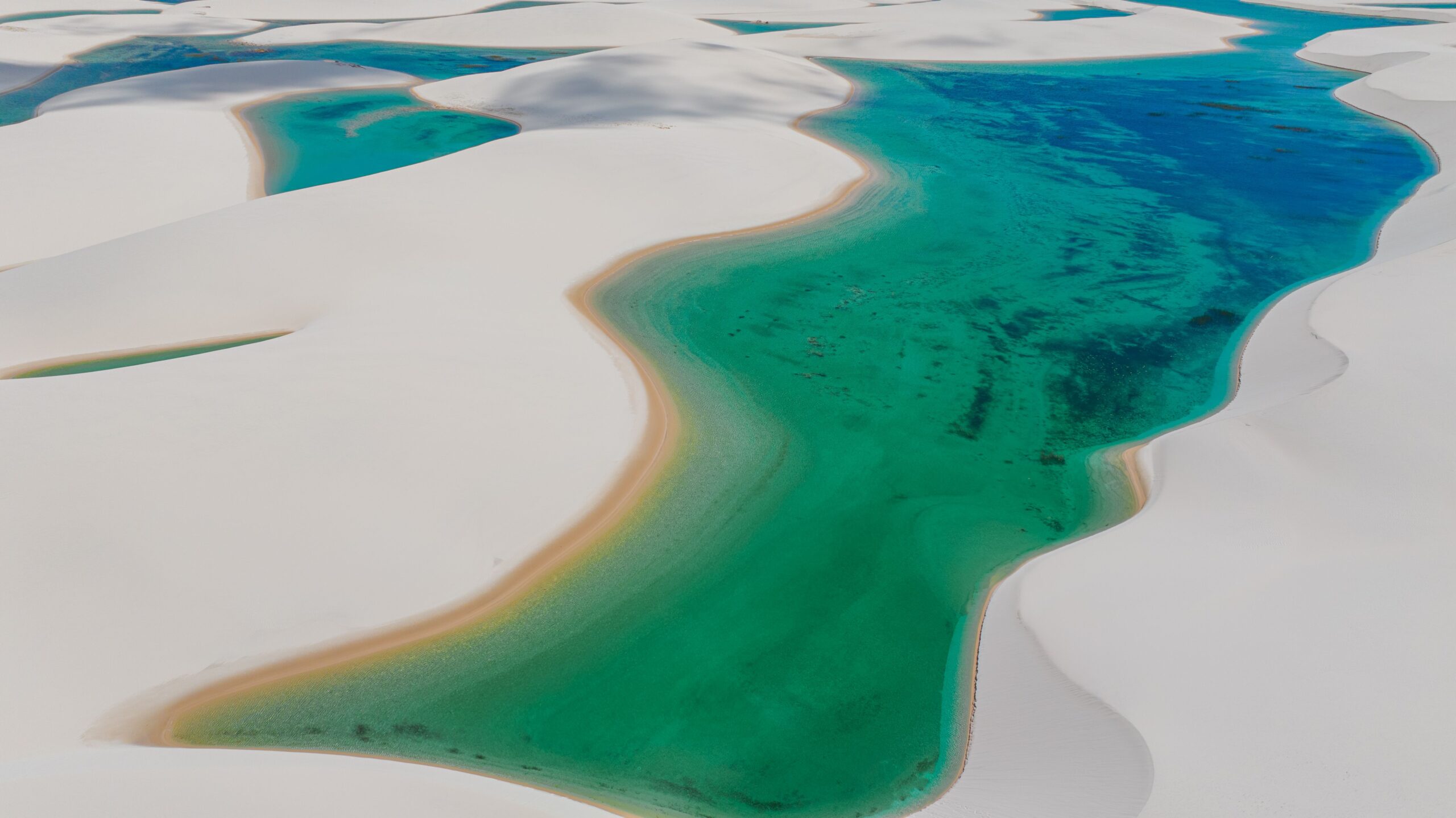
Maranhão sits where the Northeast meets the Amazon, and its landscapes reflect that transition: Amazon forest in the northwest, babassu palm country and cerrado further south, tall mangroves along a deeply indented coast, and the white dunes of the Lençóis Maranhenses, where seasonal rain fills thousands of freshwater lagoons. São Luís, the only Brazilian state capital founded by the French, has the largest collection of exterior azulejos in Brazil, and a strong living culture of Bumba meu boi, Tambor de Crioula and reggae.
For agencies, Maranhão is primarily a nature and culture destination for FIT, small groups and photography or special-interest programmes. A classic combination pairs São Luís and a day in Alcântara with several nights at Barreirinhas, the usual base for the dunes, often extended along the Rota das Emoções to the Parnaíba Delta and Jericoacoara. The Chapada das Mesas, in the south, suits waterfall and cerrado itineraries. Logistics require care: São Luís is the main air gateway, the Lençóis involve a long road transfer and 4x4 vehicles, and timing matters, since the lagoons are fullest from about June to August.
Rains fall from January to June, heaviest in March and April. For Lençóis Maranhenses, June to August offers full lagoons and clearer skies; levels drop from September and many lagoons are dry by November and December.
Destinations 3
Destinations in this state covered by YourBrasil ground services.
Alcântara
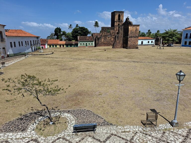
Alcântara is a small colonial town on the western shore of the Bay of São Marcos, about 30 km from São Luís. It grew…
Explore →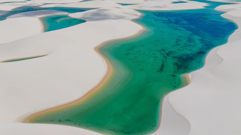
Lençóis Maranhenses
Lençóis Maranhenses National Park is one of Brazil's most visually distinctive landscapes for trade partners to sell: roughly 155,000 hectares of rolling white dunes…
Explore →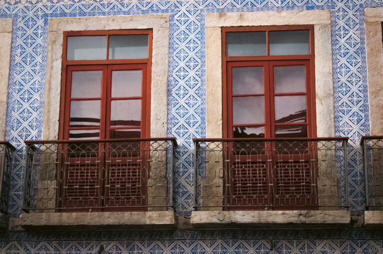
São Luís
São Luís, capital of Maranhão, stands on São Luís Island in the Bay of São Marcos and is the only Brazilian state capital founded…
Explore →Timeline
- 1612
French colonists under Daniel de La Touche found Saint-Louis on the island of Maranhão.
- 1615
The Portuguese expel the French and the settlement becomes São Luís.
- 1621
Portugal creates the State of Maranhão, a colony administered separately from the State of Brazil.
- 1641-1644
The Dutch occupy São Luís before being driven out.
- 1823
Portuguese forces are expelled and Maranhão joins independent Brazil.
- 1838-1841
The Balaiada revolt spreads across the interior of the province and into Piauí.
- 1997
The Historic Centre of São Luís is inscribed on the UNESCO World Heritage List.
- 2024
Lençóis Maranhenses National Park is inscribed as a natural World Heritage Site.
Landmarks
Historic Centre of São Luís UNESCO
Colonial streets and mansions faced with Portuguese azulejos on the island capital.
Lençóis Maranhenses National Park UNESCO
White dunes up to about 40 m high with rain-fed lagoons, usually reached from Barreirinhas.
Alcântara
A colonial town of ruins and mansions across the Bay of São Marcos, about 30 km from São Luís by boat.
Parnaíba Delta
A maze of channels, mangroves and dunes shared with Piauí, accessible from Tutóia and Araioses.
Chapada das Mesas National Park
Cerrado plateaus and waterfalls such as São Romão and Prata near Carolina.
Festivals and events
São João and Bumba meu boi
In June, Bumba meu boi groups perform nightly across São Luís and the state, peaking around 29 June.
Christmas boi season
A second, smaller Bumba meu boi cycle runs from 25 December to 6 January.
1 ibge.gov.br2 en.wikipedia.org3 pt.wikipedia.org4 en.wikipedia.org5 concursos.estrategia.com6 en.wikipedia.org7 en.wikipedia.org8 agenciabrasil.ebc.com.br9 en.wikipedia.org10 pt.wikipedia.org11 en.wikipedia.org12 en.wikipedia.org13 en.wikipedia.org14 en.wikipedia.org15 pt.wikipedia.org16 en.wikipedia.org17 en.wikipedia.org18 en.wikipedia.org19 guia.melhoresdestinos.com.br
← All destinations