
Palmas
All of Brazil, within reach.

A white diagonal band between a blue triangle at upper left and a yellow triangle at lower right carries a stylised golden sun: blue stands for the rivers, yellow for the state's wealth, white for peace and the sun for a new dawn. It was established by state law in November 1989.
Palmas in pictures
About Palmas
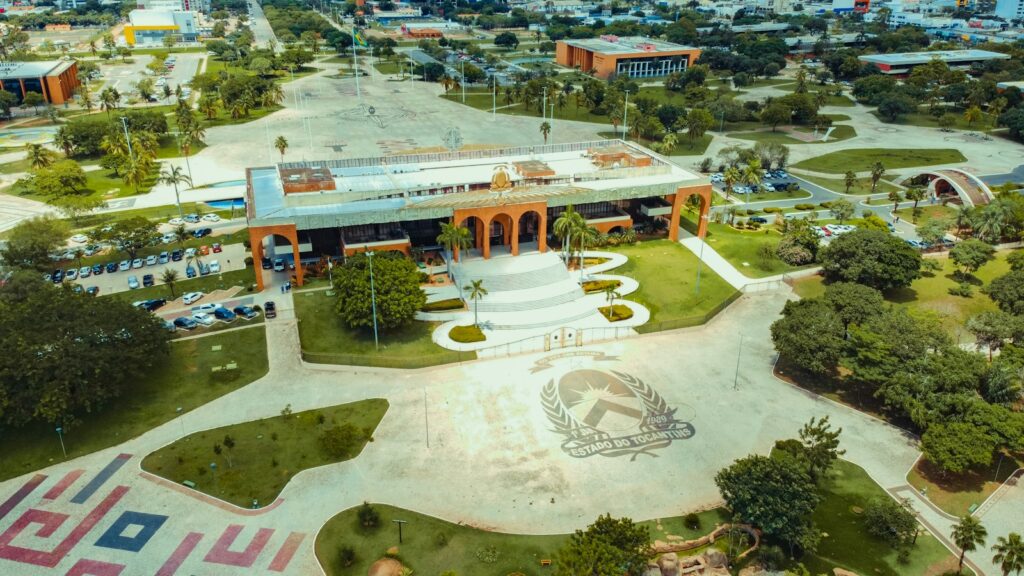
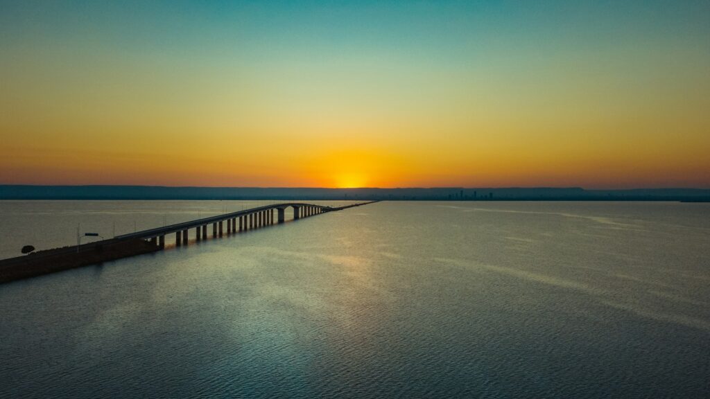
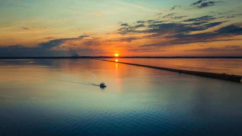
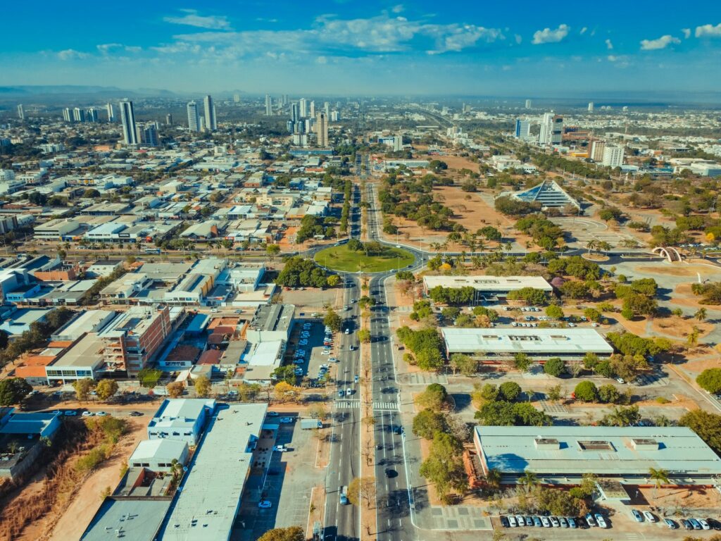
Palmas is the capital of Tocantins, the state created by the 1988 Constitution from the northern part of Goiás. Founded on 20 May 1989 and permanent capital since 1 January 1990, it is often described as the last fully planned city of the twentieth century, laid out by architects Luís Fernando Cruvinel Teixeira and Walfredo Antunes de Oliveira Filho. Wide avenues radiate from the Praça dos Girassóis, a civic square of about 570,000 m² that holds the Palácio Araguaia, the Legislative Assembly, the Court of Justice and the cathedral. The city faces the reservoir of the Luís Eduardo Magalhães (Lajeado) hydroelectric plant on the Tocantins River, a lake of about 630 km² that gave Palmas freshwater beaches such as Graciosa and Prata and a long waterfront crossed by an 8 km bridge. With 302,692 inhabitants in the 2022 census, it is the largest city in the state and grew faster than any other Brazilian capital in the first decade of this century. For agencies, Palmas is the base and the logistical hinge of any Tocantins program. It suits short urban and lake stays, sunset boat trips to Ilha Canela, MICE and government-related travel, and above all pre and post nights for Jalapão, whose main attractions lie beyond Ponte Alta and Mateiros. The waterfall district of Taquaruçu, about 32 km away in the Serra do Lajeado, makes an easy half or full day add-on, and Lajeado State Park offers guided walks by appointment. Honest logistics matter here. The airport has scheduled flights mainly to Brasília, São Paulo, Goiânia and a few other hubs, so most international clients connect once. Palmas is one of Brazil's hottest capitals, with average maximums around 37°C in August, so outdoor visits work best early and late in the day. The road to Jalapão is paved only as far as Ponte Alta, about 150 km, before some 160 km of dirt and sand that require 4x4 vehicles and experienced drivers.
Aeroporto de Palmas, Brigadeiro Lysias Rodrigues
Opened on 5 October 2001 with a 2,500 m runway and operated by CCR (now Motiva) since 2022; LATAM, Gol and Azul link Palmas with Brasília, São Paulo, Goiânia and other Brazilian cities.
How Palmas came to be
Sourced milestones your team can use for guest briefings and storytelling, not filler copy.
Curiosities & practical notes
What's on the table
Chambari (chambaril)
Slow-cooked beef shank seasoned with herbs and peppers, served with its broth, white rice and cassava flour.
Peixe na telha
Fish fillets, typically tucunaré or pintado, cooked on a clay tile with peppers, tomatoes, onion and coconut milk.
Arroz com pequi
Yellow rice cooked with pequi, the aromatic Cerrado fruit whose pit hides fine spines and must be eaten with care.
Paçoca de carne de sol
Shredded salted beef pounded with cassava flour, onion and garlic, eaten alone or with rice and cassava.
Bolo de puba
A moist cake of fermented cassava with a slightly tangy flavour, often with coconut or cheese.
Biscoito de queijo
A cheese biscuit made with tapioca starch, crisp outside and soft inside, also called peta.
What there is to see
Marked where a site carries UNESCO World Heritage status directly, versus a locally or nationally protected landmark.
Praça dos Girassóis
The monumental central square of Palmas, home to the Palácio Araguaia, the Legislative Assembly, the Court of Justice and the cathedral.
Memorial Coluna Prestes
A memorial on the Praça dos Girassóis dedicated to the Prestes Column, the 1920s rebel march across the Brazilian interior.
Praia da Graciosa
The city's best known lake beach, with a 520 m sand strip, kiosks, a boat pier and sunset views.
Praia do Prata
A lake beach about 9 km from the Praça dos Girassóis, the one most frequented by residents.
Ponte Fernando Henrique Cardoso
An 8 km bridge across the Palmas lake, a sunset viewpoint and the road link to BR-153.
Ilha Canela
An artificial island in the lake of about 45,000 m², around 15 minutes by boat from Pier 1.
Parque Estadual do Lajeado
A 9,931 hectare Cerrado park created in 2001, entrance about 18 km east of Palmas, with springs, waterfalls and rock paintings, visited by appointment with guides.
What else we brief agencies on
This is what we prepare for every RFP, whether or not it's published on this page yet:
On request for every proposal
- Best season / weather windows and blackout dates for groups & MICE
- Permit and quota logistics for regulated attractions, lead time and group-size caps
- Accessibility notes and physical-difficulty ratings per activity
- Vetted ground partners, guides and transport already used on past programs
- Sustainability / certification credentials relevant to client RFPs, where they genuinely exist
- Real, checked room and vehicle availability for your travel dates, not a generic quote
