
Ceará
A dune-and-lagoon coast anchored by Fortaleza's air hub and Jericoacoara, with a pilgrimage and fossil-rich interior. Strong for beach FIT and the Rota das Emoções.

The state
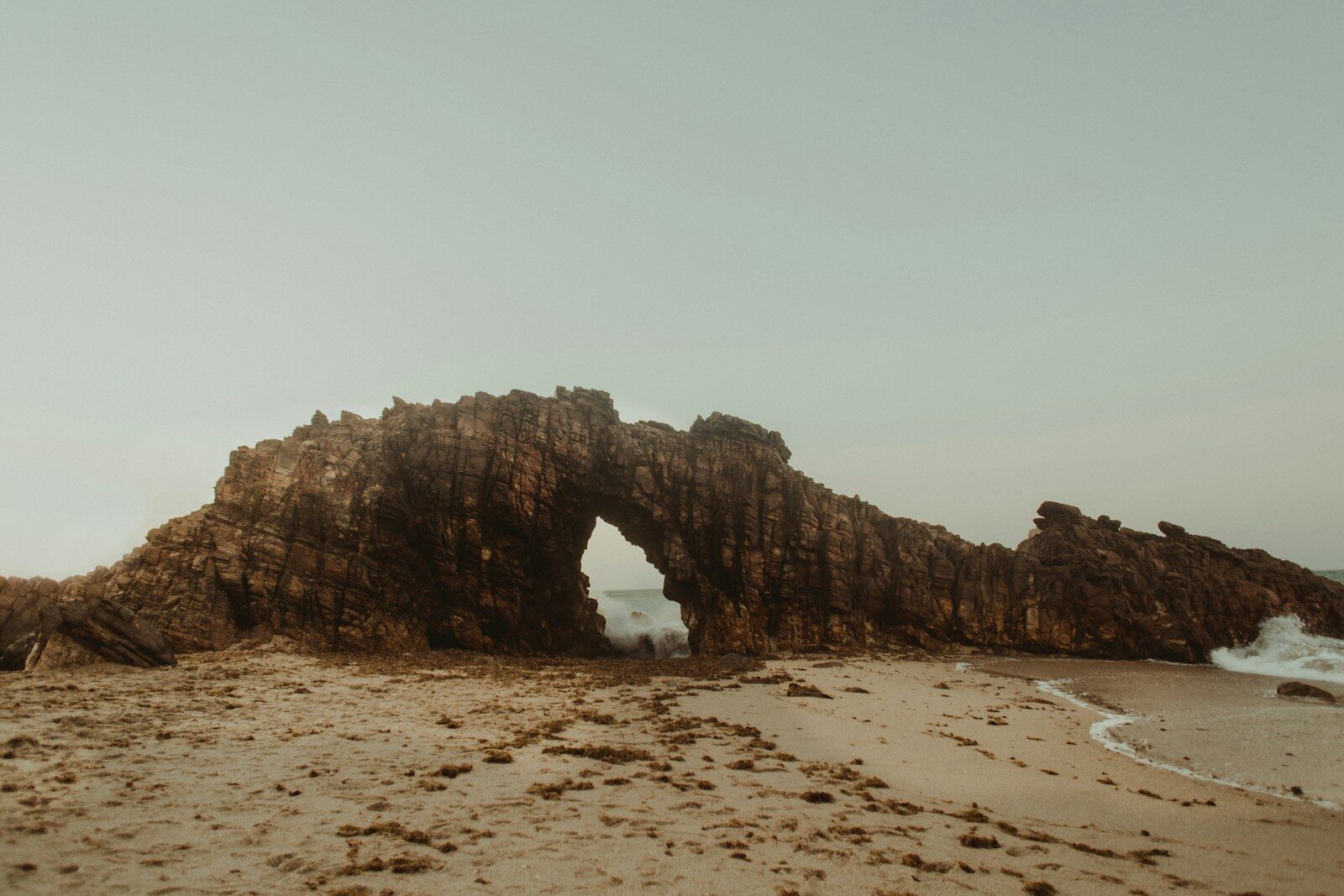
Ceará is the Northeast's great dune coast: a long, bright shoreline of shifting sand, freshwater lagoons, red cliffs and fishing villages where jangada rafts still work the water. Fortaleza, a large and modern capital, anchors the state with beachfront hotels, a lively food scene and the Dragão do Mar cultural centre. To the west lies Jericoacoara, a sandy village inside a national park, and beyond it the Rota das Emoções towards Piauí and Maranhão; to the east, the cliffs of Canoa Quebrada. The interior is semi-arid sertão, broken by cooler green hills such as Guaramiranga and by the Cariri region in the south, home to the pilgrimage city of Juazeiro do Norte and the Araripe fossil beds.
For agencies, Ceará suits beach FIT and honeymoons, active programmes built on dunes and lagoons, and incentive or conference groups using Fortaleza's hotel base. Fortaleza's airport is one of the Northeast's main hubs, and Jericoacoara has its own regional airport, which shortens what is otherwise a long road and 4x4 transfer. Rain is concentrated from January to July, peaking in March and April, while August to December is reliably dry.
Rain falls mainly from January to July, heaviest in March and April. August to December is the dry season and the most dependable window for the coast.
Destinations 3
Destinations in this state covered by YourBrasil ground services.
Canoa Quebrada
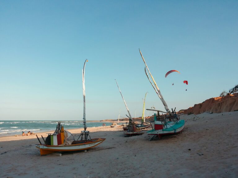
Canoa Quebrada is a former fishing village on the east coast of Ceará, in the municipality of Aracati, about 160 km from Fortaleza. It…
Explore →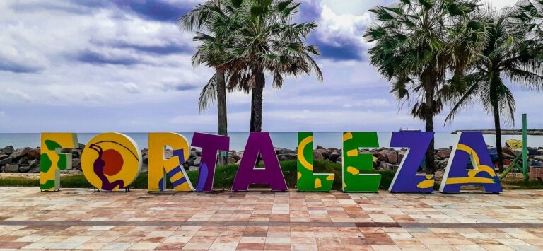
Fortaleza
Fortaleza, capital of Ceará, is one of Brazil's largest cities, with about 2.4 million residents in the 2022 census, and one of the country's…
Explore →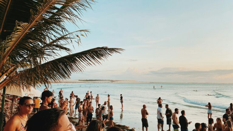
Jericoacoara
Jericoacoara is a beach village on Ceará's west coast, about 300 km from Fortaleza, set within Jericoacoara National Park. The name comes from Tupi…
Explore →Timeline
- 1603
Pero Coelho de Sousa leads the first Portuguese settlement attempt in Ceará.
- 1649
The Dutch open Fort Schoonenborch, the origin of Fortaleza.
- 1654
After the Dutch withdrawal, the Portuguese rename the fort Fortaleza de Nossa Senhora da Assunção.
- 1726
Fortaleza is elevated to the status of vila (town).
- 1799
Fortaleza becomes the capital of Ceará.
- 1884
On 25 March, Ceará becomes the first Brazilian province to abolish slavery, four years before the rest of the country.
- 2002
Jericoacoara National Park is created, succeeding a state protected area established in 1984.
- 2006
Araripe becomes the first Brazilian geopark admitted to the Global Geoparks Network, later designated a UNESCO Global Geopark in 2015.
Landmarks
Jericoacoara National Park
Dunes, lagoons and the Pedra Furada rock arch around the sandy village of Jericoacoara.
Canoa Quebrada
A beach village east of Fortaleza framed by cliffs and dunes.
Cumbuco
A beach, dune and lagoon area just west of Fortaleza, easy to combine with a city stay.
Dragão do Mar Center of Art and Culture
Fortaleza's main cultural complex, with museums and performance spaces near the Praia de Iracema seafront.
Ubajara National Park
A small highland park with a limestone cave, forest trails and waterfalls.
Araripe UNESCO Global Geopark
Fossil sites and geological landscapes across the Cariri region in southern Ceará.
Juazeiro do Norte
A pilgrimage city built around the legacy of Padre Cícero.
Festivals and events
Fortal
Fortaleza's out-of-season carnival, held in July.
Juazeiro do Norte pilgrimages
Mass pilgrimages to Padre Cícero's city, with the main one every November.
Festas Juninas
June celebrations of São João with quadrilha dances and forró across the state.
