
Roraima
Brazil's northernmost state, bordering Venezuela and Guyana: tepui landscapes, lavrado savannas and strong Indigenous culture, reached via Boa Vista.

The state
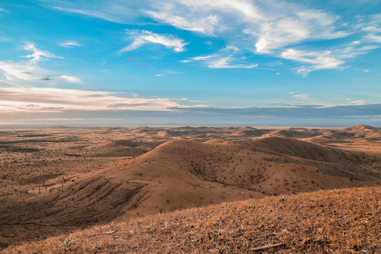
Roraima is Brazil's northernmost state and its least populous, a frontier land bordering Venezuela and Guyana. Rainforest covers the south and west, while the north opens into the lavrado, a savanna of open grasslands, rising to the tepuis of the Pacaraima range at the triple border, where Mount Roraima stands. Indigenous peoples, among them the Macuxi, Wapixana and Yanomami, are central to the state's identity, and Indigenous lands cover a large share of its territory. Boa Vista, the capital, is a planned city with a radial street layout and the only Brazilian state capital located entirely north of the equator.
For agencies, Roraima suits special-interest and adventure programs rather than volume groups: savanna and river landscapes around Boa Vista, the waterfalls and plateau of Serra do Tepequém, birding in Viruá National Park and, for experienced trekkers, Mount Roraima, whose summit treks usually start on the Venezuelan side and require current border checks. Access is by air via Boa Vista or by the BR-174 highway from Manaus. Visits to Indigenous lands need prior authorization from FUNAI, so programs involving communities must be arranged well in advance.
Boa Vista's seasons differ from most of the Amazon: rain concentrates between May and August, while September to April is drier, with lower river levels and river beaches along the Rio Branco, the more comfortable window for overland programs.
Destinations 3
Destinations in this state covered by YourBrasil ground services.
Boa Vista
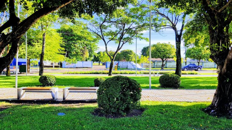
Boa Vista, capital of Roraima, stands on the western bank of the Rio Branco and is the only Brazilian state capital lying entirely north…
Explore →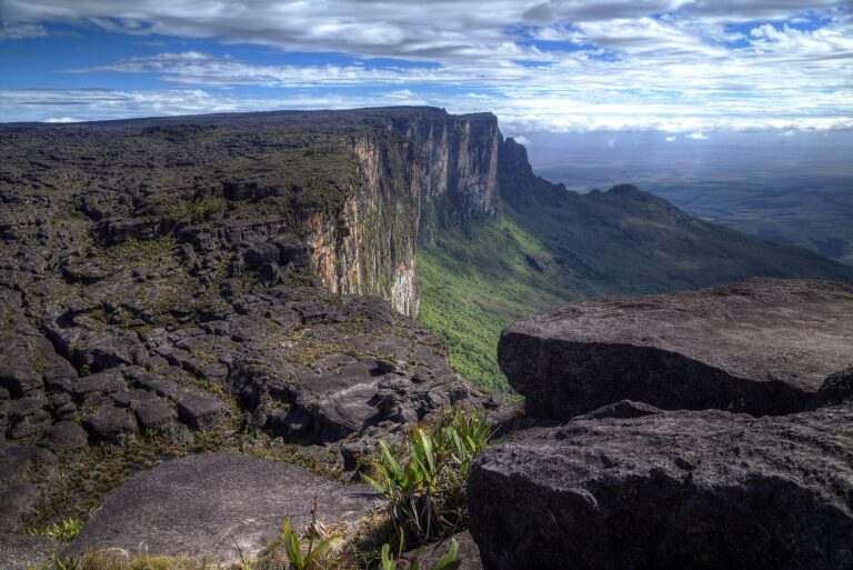
Mount Roraima
Mount Roraima is a 2,810 metre tepui, a flat-topped sandstone mountain ringed by cliffs of 400 to 1,000 metres, standing on the tripoint of…
Explore →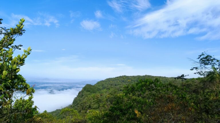
Serra do Tepequém
The Serra do Tepequém is a flat-topped mountain in the municipality of Amajari, in northern Roraima, about 210 km by road from Boa Vista.…
Explore →Timeline
- 1775-1778
The Portuguese build the Forte de São Joaquim at the confluence of the Uraricoera and Tacutu rivers to secure the Rio Branco valley.
- 1890
Boa Vista do Rio Branco is established as a municipality on 9 July.
- 1943
The Federal Territory of Rio Branco is created, separated from the state of Amazonas.
- 1962
The territory is renamed Roraima.
- 1988
The new Federal Constitution elevates Roraima to statehood.
- 1989
Mount Roraima National Park is created on the Brazilian side of the tepui.
- 1992
The Yanomami Indigenous Territory, spanning Roraima and Amazonas, is formally demarcated by presidential decree.
- 2005
The Raposa Serra do Sol Indigenous Territory is ratified, a decision upheld by the Supreme Federal Court in 2009.
Landmarks
Mount Roraima
The tabletop tepui at the Brazil-Venezuela-Guyana triple border, protected on the Brazilian side by Mount Roraima National Park.
Serra do Tepequém, Amajari
A former mining plateau rising to about 1,200 m, with the Paiva and Funil waterfalls, and the state's leading nature destination.
Boa Vista Civic Center and Orla Taumanan
The hub of the capital's radial plan and the riverside promenade on the Rio Branco.
Viruá National Park, Caracaraí
A park of about 242,000 hectares created in 1998, with seasonally flooded campinaranas and more than 2,000 recorded plant species.
Forte de São Joaquim ruins
Remains of the 18th-century Portuguese fort north of Boa Vista, listed by IPHAN in 2001.
Pedra Pintada
A rock formation over 35 m high with ancient rock art, inside Indigenous land and open only with FUNAI authorization.
Lago Caracaranã
A lake in the north of the state known for its fine sand beaches.
Festivals and events
Boa Vista Junina
Billed as the largest June festival in the Amazon, held over several days in June at Praça Fábio Marques Paracat with quadrilhas and national music acts.
1 ibge.gov.br2 en.wikipedia.org3 pt.wikipedia.org4 pt.wikipedia.org5 commons.wikimedia.org6 en.wikipedia.org7 pt.wikipedia.org8 en.wikipedia.org9 en.wikipedia.org10 pt.wikipedia.org11 pt.wikipedia.org12 en.wikipedia.org13 pt.wikipedia.org14 en.wikipedia.org15 portalamazonia.com16 en.wikipedia.org17 brasildefato.com.br18 ilovecidades.com.br
← All destinations